Dublin Castle (Dublin, Ireland)
Enlarge text Shrink text- Work cat.: 00304319: Kennedy, R. Dublin Castle art, c1999.
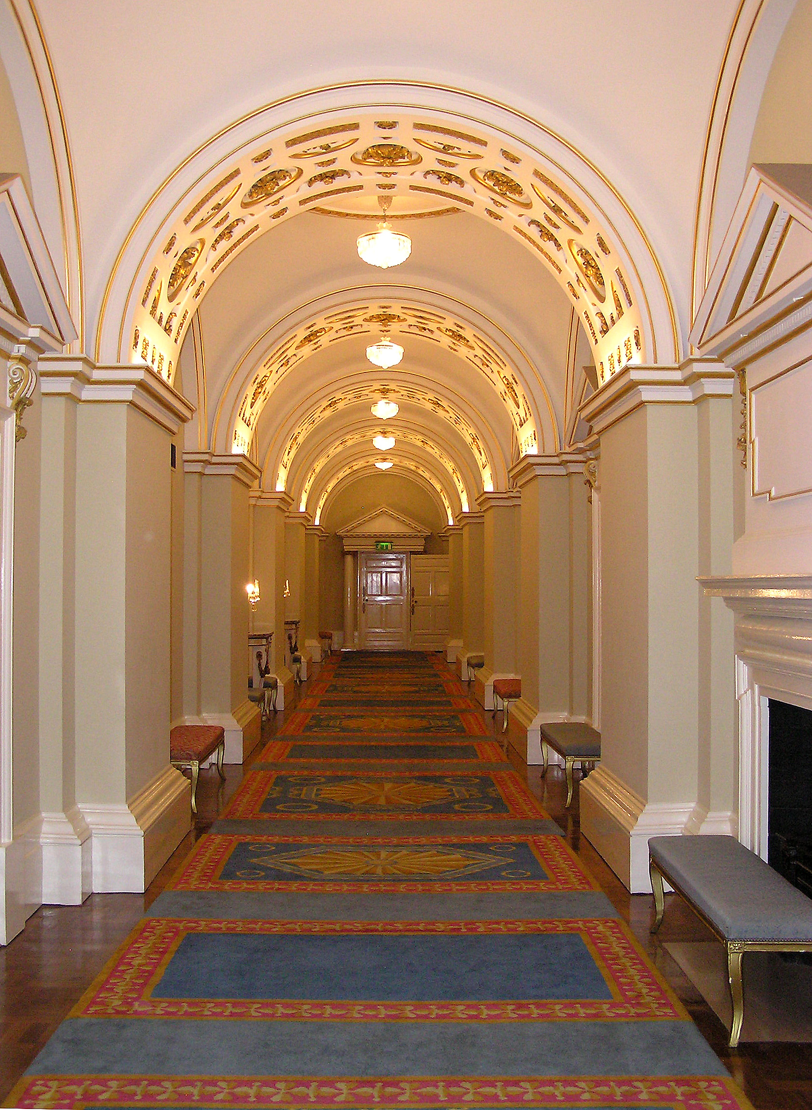
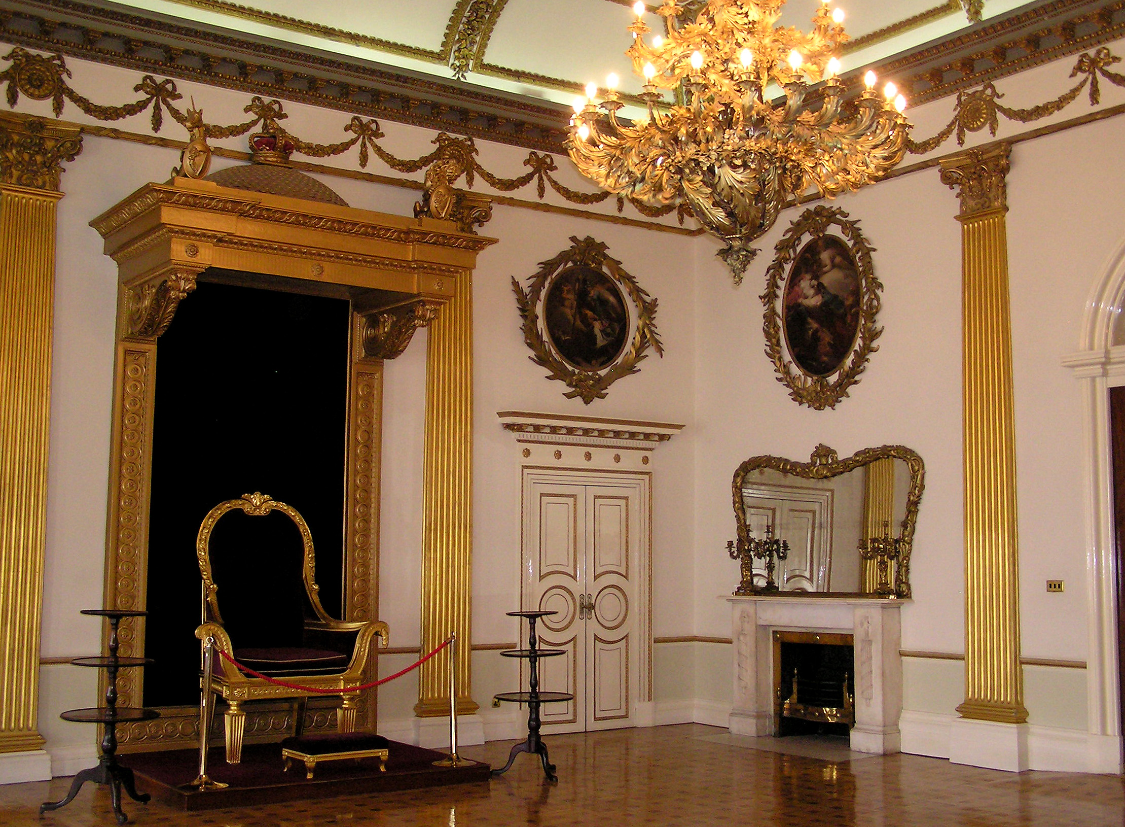
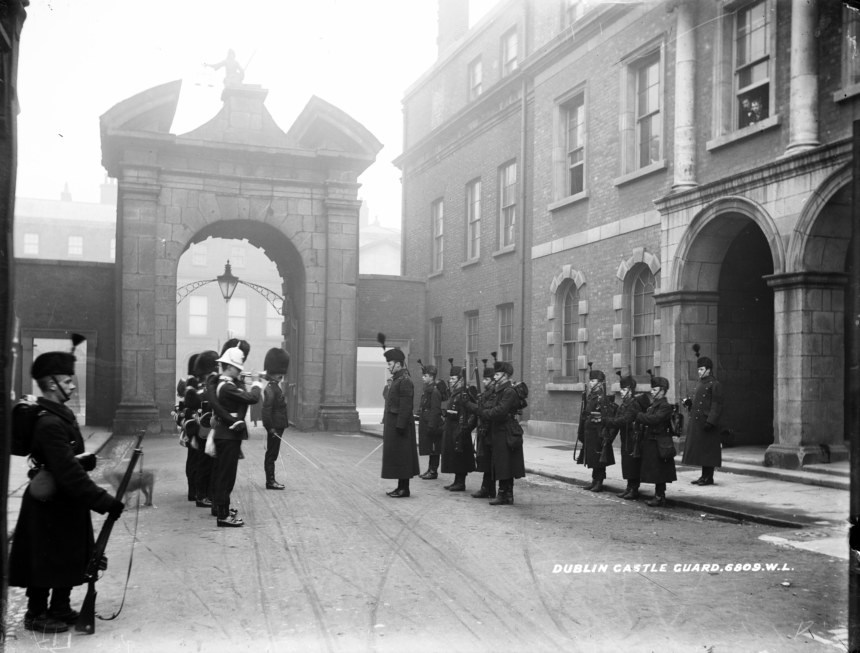
Dublin Castle (Irish: Caisleán Bhaile Átha Cliath) is a major Irish government complex, conference centre, and tourist attraction. It is located off Dame Street in central Dublin. It is a former motte-and-bailey castle and was chosen for its position at the highest point of central Dublin. Until 1922 it was the seat of the British government's administration in Ireland. Many of the current buildings date from the 18th century, though a castle has stood on the site since the days of King John, the first Lord of Ireland. The Castle served as the seat of English, then later British, government of Ireland under the Lordship of Ireland (1171–1541), the Kingdom of Ireland (1541–1800), and the United Kingdom of Great Britain and Ireland (1801–1922). After the signing of the Anglo-Irish Treaty in December 1921, the complex was ceremonially handed over to the newly formed Provisional Government led by Michael Collins. It now hosts the inauguration of each President of Ireland and various State receptions. The castle was built by the dark pool ("Dubh Linn") which gave Dublin its name. This pool lies on the lower course of the River Poddle before its confluence with the River Liffey; when the castle was built, the Liffey was much wider, and the castle was effectively defended by both rivers. The Poddle today runs under the complex.
Read more on Wikipedia >
 Corporate Body


