Arid regions
Enlarge text Shrink text-
 Topic
Topic


- Heathcote, R.L. The arid lands, 1983.
- Google search, Mar. 21, 2006(dry lands; drylands used as noun forms)


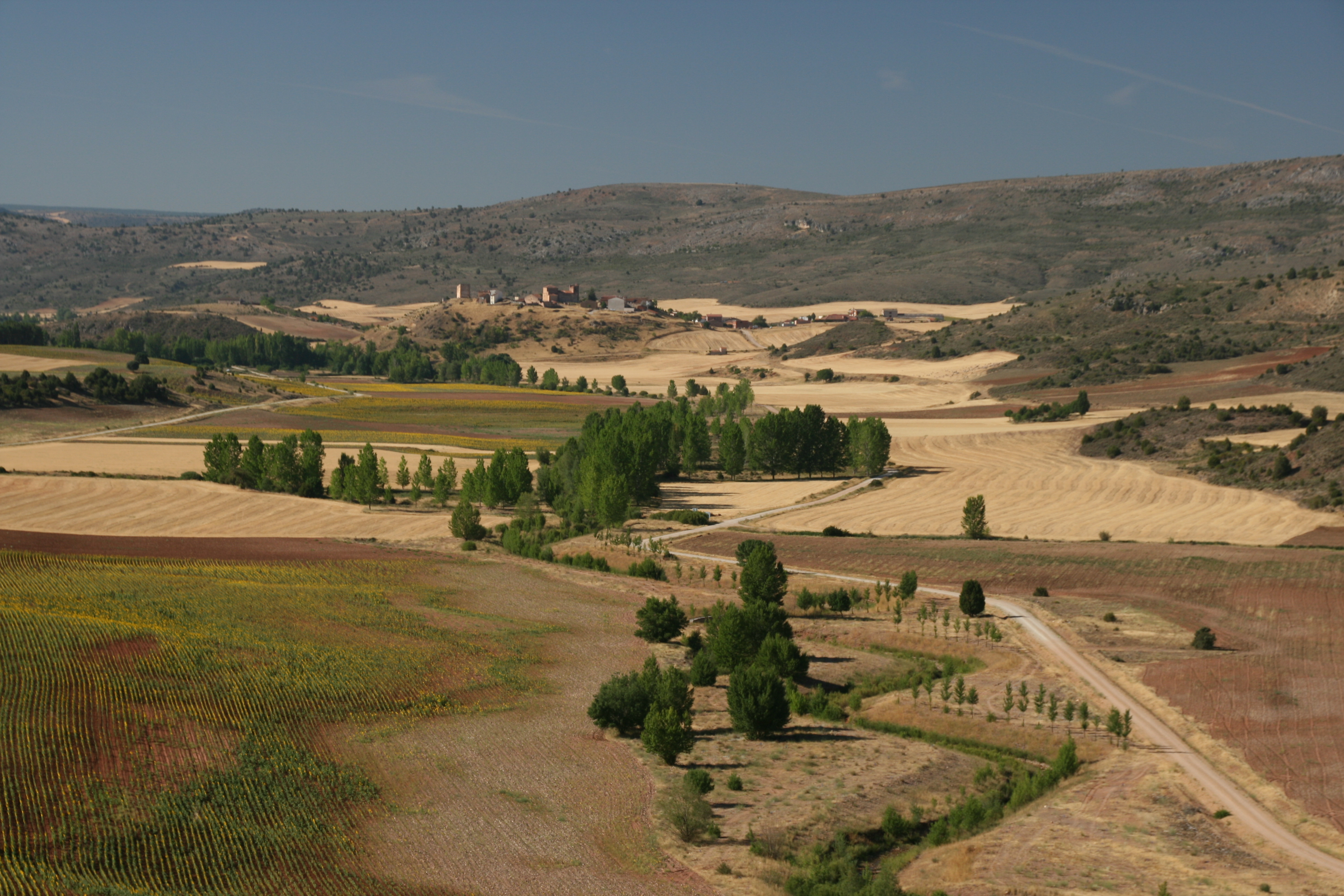


Drylands are defined by a scarcity of water. Drylands are zones where precipitation is balanced by evaporation from surfaces and by transpiration by plants (evapotranspiration). The United Nations Environment Program defines drylands as tropical and temperate areas with an aridity index of less than 0.65. Drylands can be classified into four sub-types: Dry sub-humid lands Semi-arid lands Arid lands Hyper-arid lands Some authorities regard hyper-arid lands as deserts (United Nations Convention to Combat Desertification) although a number of the world's deserts include both hyper-arid and arid climate zones. The UNCCD excludes hyper-arid zones from its definition of drylands. Drylands cover 41.3% of the Earth's land surface, including 15% of Latin America, 66% of Africa, 40% of Asia, and 24% of Europe. There is a significantly greater proportion of drylands in developing countries (72%), and the proportion increases with aridity: almost 100% of all hyper-arid lands are in the developing world. Nevertheless, the United States, Australia, and several countries in Southern Europe also contain significant dryland areas. Drylands are complex evolving structures, whose characteristics and dynamic properties depend on many interrelated interactions between climate, soil, and vegetation. Drylands are highly vulnerable to climate change.
Read more on Wikipedia >