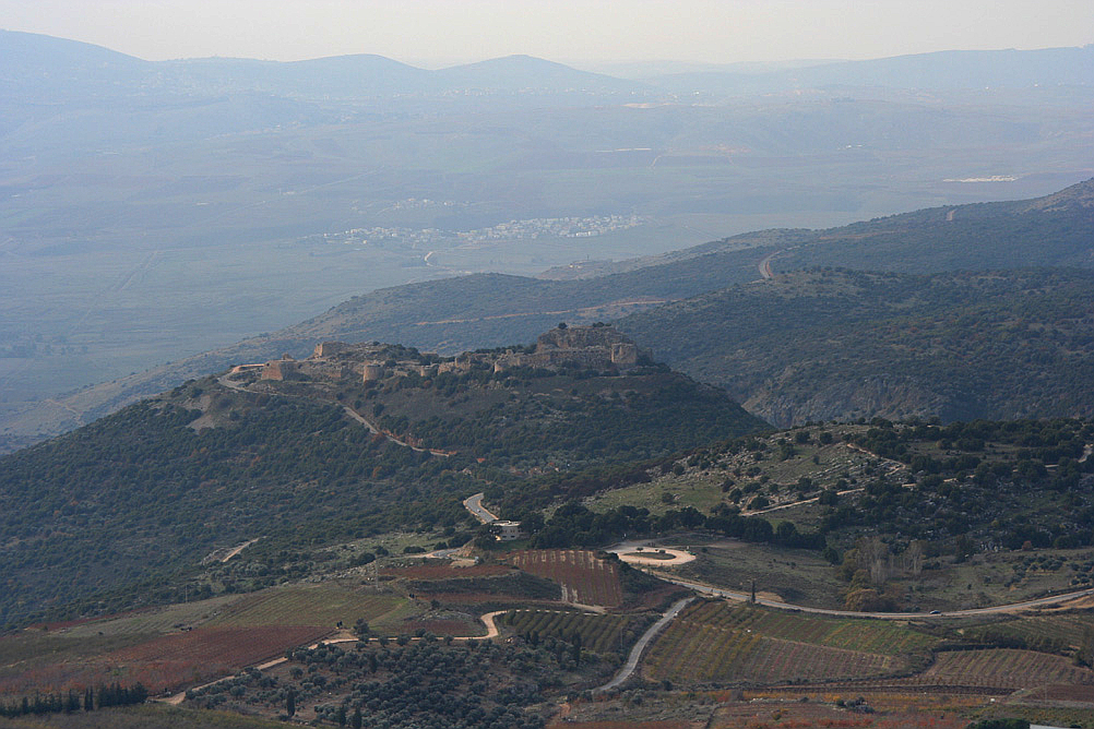
Qal'at Nimrud
Enlarge text Shrink text- The Nimrod Fortress or Nimrod Castle (Arabic: قلعة الصبيبة Qal'at al-Subeiba, "Castle of the Large Cliff", later Qal'at Namrud, "Nimrod's Castle"; Hebrew: מבצר נמרוד, Mivtzar Nimrod, "Nimrod's Fortress") is a medieval Ayyubid castle situated on the southern slopes of Mount Hermon, on a ridge rising about 800 m (2600 feet) above sea level. It overlooks the Golan Heights and was built with the purpose of guarding a major access route to Damascus against armies coming from the west. Alternative forms and spellings include: Kal'at instead of Qal'at, the prefix as- instead of al-, and Subayba, Subaybah and Subeibeh in place of Subeiba. ( (נצפה בויקיפדיה, 22.5.2018:) )
- לפי תמונה מאוסף יהודה קולודני (קול):מבצר נמרוד לפני עבודות השחזור, רמת הגולן
The Nimrod Fortress or Nimrod Castle (Arabic: قلعة الصبيبة Qal'at al-Subeiba, "Castle of the Large Cliff", later Qal'at Namrud, "Nimrod's Castle"; Hebrew: מבצר נמרוד, Mivtzar Nimrod, "Nimrod's Fortress") is a castle built by the Ayyubids and greatly enlarged by the Mamluks, situated on the southern slopes of Mount Hermon, on a ridge rising about 800 m (2600 feet) above sea level. It overlooks the Golan Heights and was built with the purpose of guarding a major access route to Damascus against armies coming from the west. Alternative forms and spellings include: Kal'at instead of Qal'at, the prefix as- instead of al-, and Subayba, Subaybah and Subeibeh in place of Subeiba. The association of the fortress with the biblical king, mighty warrior and hunter Nimrod, who entered post-koranic Islamic interpretive literature as Nimrud, came from the Druze, who only settled in the area in the 19th century. The area is under Israeli occupation and administration since 1967 together with the adjacent Golan Heights. The international community sees the area as Syrian territory.
Read more on Wikipedia >
 Corporate Body


