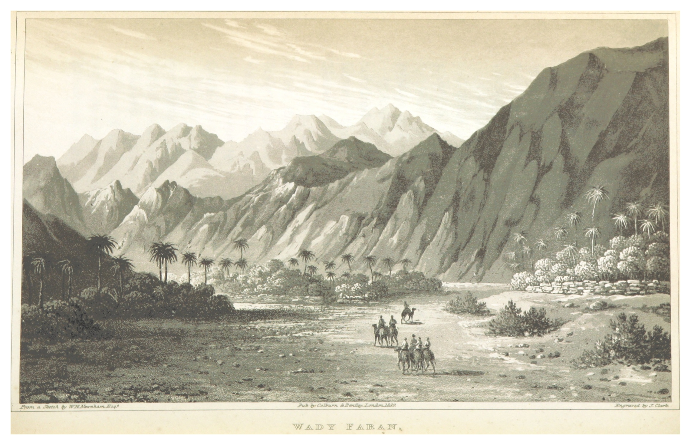
Wadi Feiran (Sinai, Egypt)
Enlarge text Shrink text
Information for Authority record
Other Identifiers
Wikidata:
Q18191741
Sources of Information
- The Author's Ruins of the Anicent City of Paran, 1866-1867.
- ואדי פֵירָאן (בערבית: وادي فيران) הוא נחל מרכזי בדרום-מערב חצי האי סיני שבמצרים. הנחל מנקז את אזור ההר הגבוה שבדרום סיני וערוצו פונה מערבה עד לשפכו במפרץ סואץ בסמוך לראס שרתיב (כ-20 קילומטר דרומית לאבו רודס). ( (ויקיפדיה, נצפה 17 יולי 2024) )
1 / 2
Wikipedia description:
Wadi Feiran or Wadi Faran is Sinai's largest and widest wadi. It is an intermittent stream and rises from the mountains around Saint Catherine's Monastery, at 2500 m above sea level. It is one of the alleged sites of Rephidim, a station of the Exodus where Moses struck a rock caused it to spring water, allowing his people the Hebrews to drink. Wadi Feiran is an 81-mile (130 km) wadi on Egypt's Sinai Peninsula. Its upper reaches, around Jebel Musa, are known as the Wadi el-Sheikh. It empties into the Red Sea's Gulf of Suez 18 miles (29 km) southeast of Abu Zenima. Ptolemy identified the area as the site of Paran. The nearby hill is the Tell Feiran.
Read more on Wikipedia >
 Place
Place


