Wootton Wawen (England)
Enlarge text Shrink text-
 Place
Place


- Shorters, I.A. A wasting historical asset?, 2004:t.p. (Wootton Wawen) p. 1 (rural Warwickshire)
- GEOnet, July 7, 2004(Wootton Wawen; PPL; 52⁰0ʹ 15 00 N, 001⁰0ʹ 46 00 W)
- Collins Britain atlas and gazetteer, c1999(Wootton Wawen, Warks. [Warwickshire]; village, 2m/3km S of Henley in Arden)

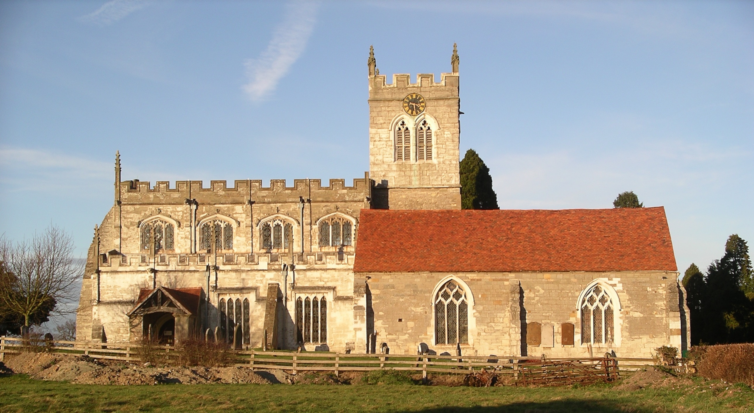


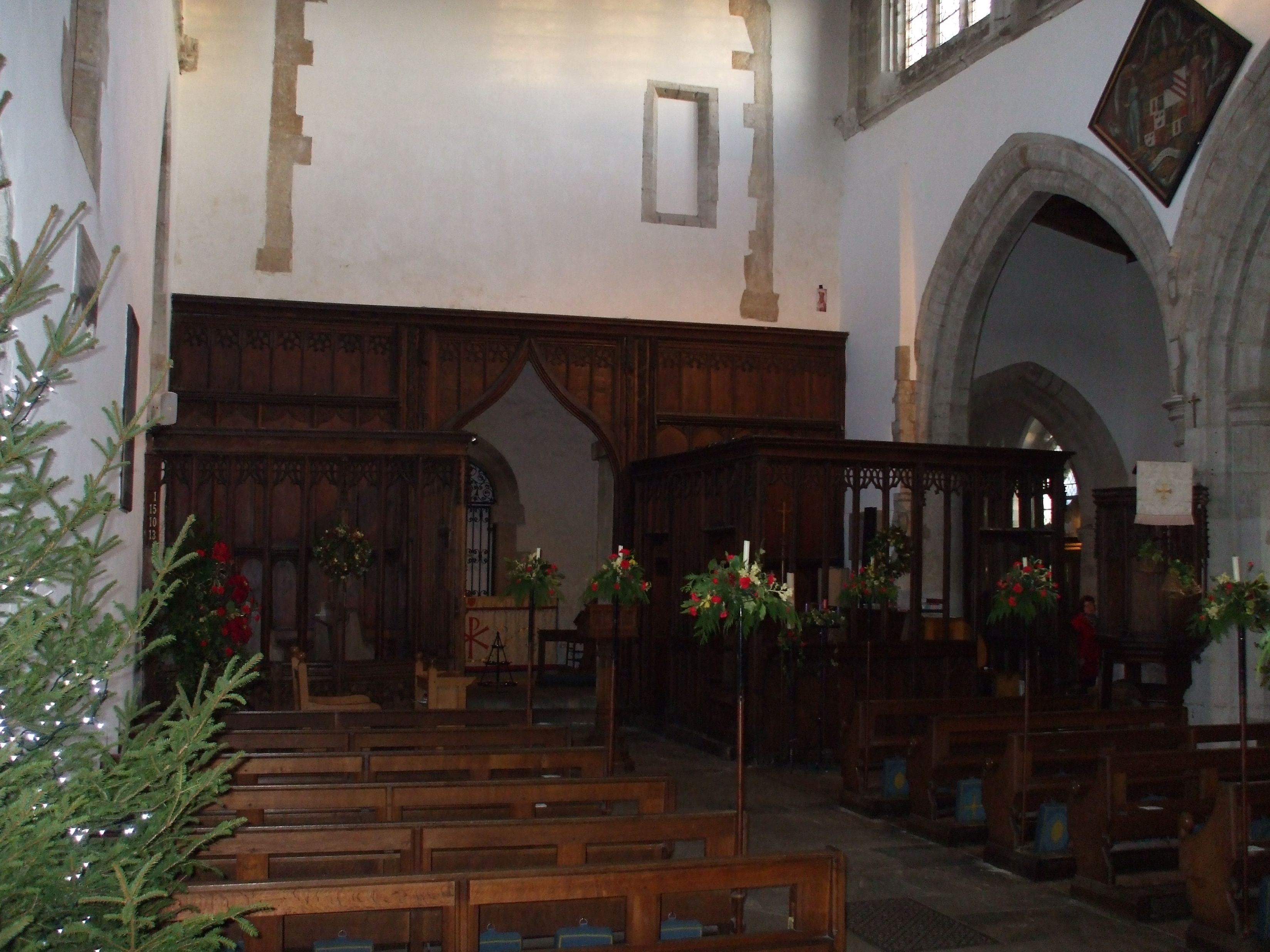


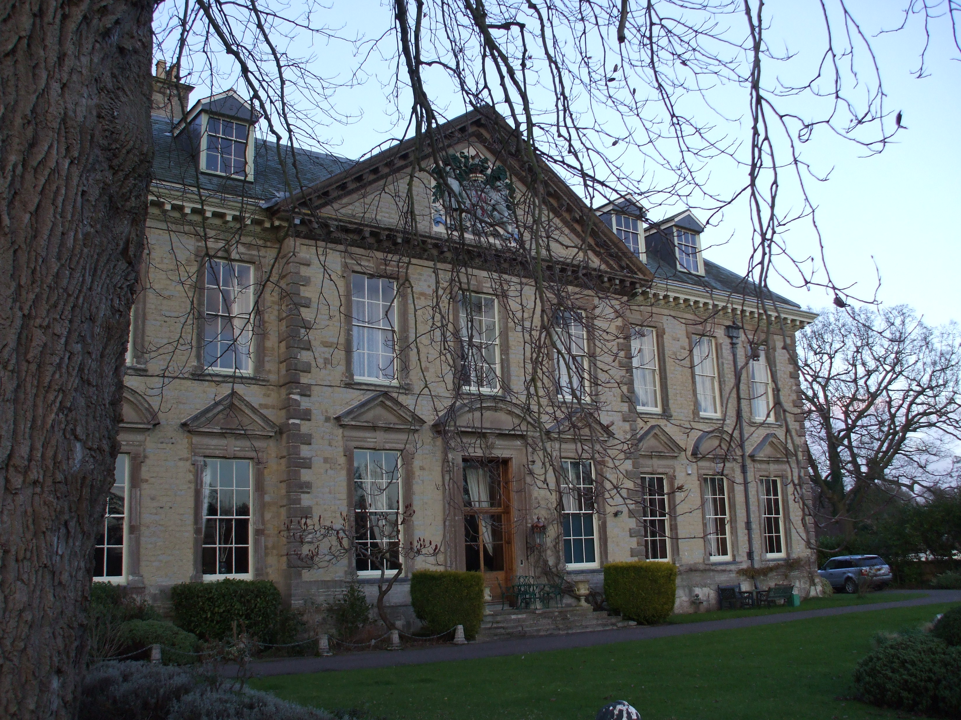
Wootton Wawen is a village and civil parish in the Stratford-on-Avon district of Warwickshire, England. The village is on the A3400 in mid-western Warwickshire, about 20 miles (32 km) from Birmingham, about 2 miles (3 km) south of Henley-in-Arden and about 6.5 miles (10 km) north of Stratford-upon-Avon. The soil is a strong clay and some arable crops are grown, but the land is mainly in pasture. The common fields were inclosed in 1776, but some inclosures had already been made about 1623. The scenery is wooded and undulating, rising from about 200 feet (61 m), in the south to 488 feet (149 m), in the north-west at College Farm, above Forde Hall. Near here is Mockley Wood, which, with May's Wood in the centre of the parish and Austy Wood near Edstone, is one of the larger blocks of woodland. The older part of the village straddling the A3400 is designated as a Conservation Area because of its open, rural character and many historic buildings.
Read more on Wikipedia >