Zary (Wojewodztwo lubuskie, Poland)
Enlarge text Shrink text-
 Place
Place


- Majchrzak, Jerzy Piotr. Encyklopedia Ziemi Zarskiej, 2002:p. 309 (Zary; also Sarov, Sarove, Zoraw; German, Sorau)
- GEOnet, June 22, 2004(Zary; PPL; 51⁰0ʹ38N 15⁰0ʹ09E; variants: Zoraw; Soraw; Sorau in Nieder Lausitz; lists 4 other places with the same name)
- MapaPolski website, June 22, 2004(Zary; 51⁰0ʹ38N 15⁰0ʹ08E; in Wojewodztwo lubuskie; until 1945 called Sorau)
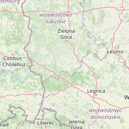

Żary ([ˈʐarɨ] , Lower Sorbian: Žarow, German: Sorau, pronounced [ˈʒarɔw]) is a town in western Poland with 37,502 inhabitants (2019), situated in the Lubusz Voivodeship. It is the administrative seat of the Żary County and of the Gmina Żary within the county, though the town is not part of the gmina (commune). Żary is located in the east of the historic Lower Lusatia region, in the borderland with the Silesian lowlands and Greater Poland, roughly outlined by the Bóbr and Oder rivers. The city is one of the biggest economic and tourist centers in the southern Lubuskie region and the largest town in the Polish part of Lusatia, and is also referred as its unofficial capital. The city, whose history dates back more than 1000 years, features many historic sites.
Read more on Wikipedia >