Thorington (England)
Enlarge text Shrink text-
 Place
Place
|
מספר מערכת
987007475691905171

Information for Authority record
Name (Latin)
Thorington (England)
Associated country
Great Britain
MARC

MARC
Other Identifiers
Sources of Information
- Thorington parish records, Suffolk, c2004
- Ordnance Survey WWW site, 14 Oct. 2004(Thorington, Suffolk, village, 52⁰ 18.9ʹ N 1⁰ 33.5ʹ E)
1 / 1
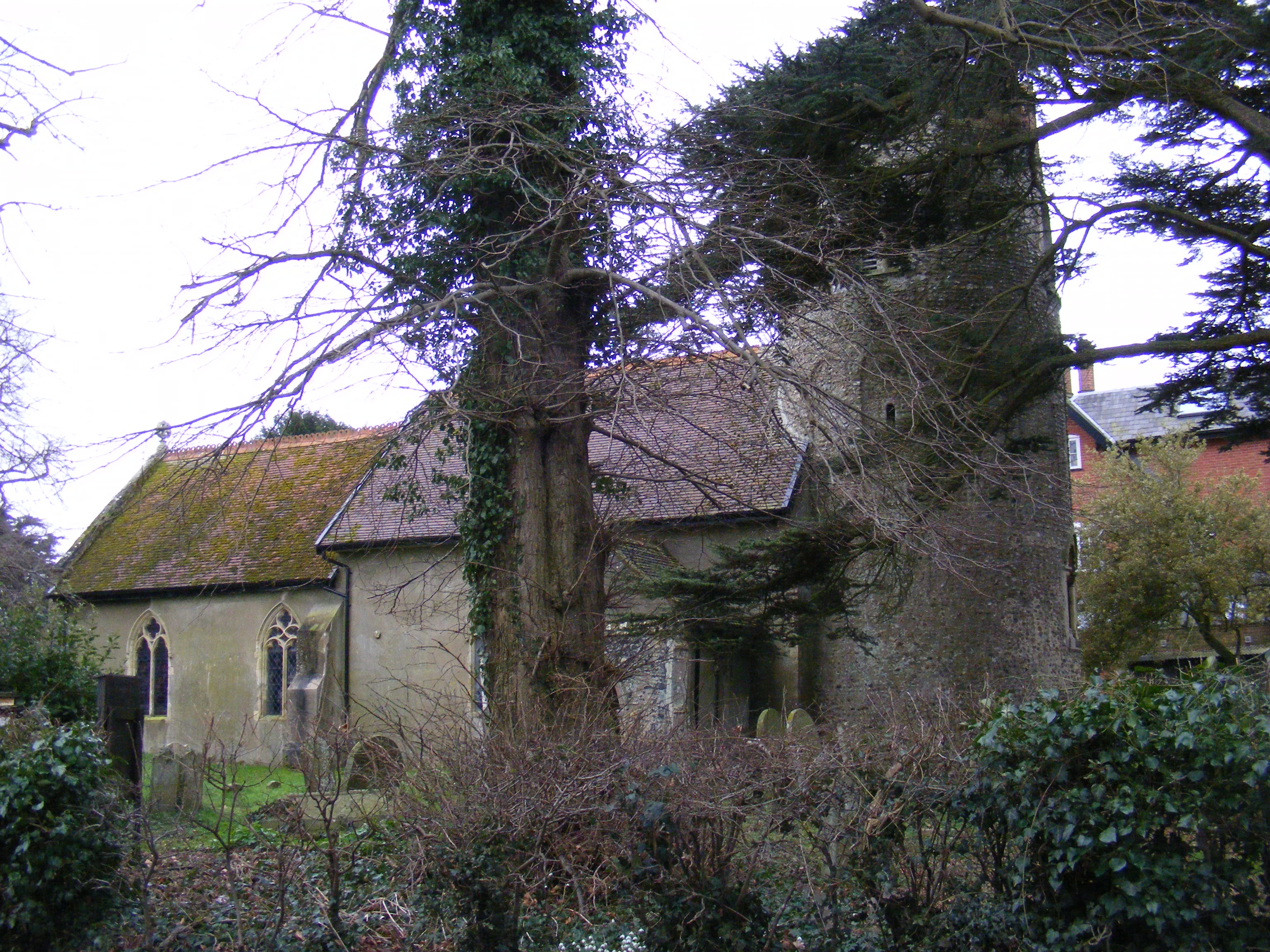
File:Thorington - Church of St Peter.jpg
Adrian Cable, CC BY-SA 2.0
Wikipedia description:
Thorington is a village and civil parish in the East Suffolk district of the English county of Suffolk. It is located around 3 miles (4.8 km) south-east of the town of Halesworth, immediately south of the village of Wenhaston. The A12 main road runs through the parish to the east of the village. In 2001 the parish had a population of 76. Thorington Hall was demolished in 1949, but The Round House, a listed gamekeeper's lodge for the Thorington Estate, survives. From 1974 to 2019 it was in Suffolk Coastal district. It was in the hundred of Blything.
Read more on Wikipedia >