Tideswell (England)
Enlarge text Shrink text-
 Place
Place
|
מספר מערכת
987007475813405171

Information for Authority record
Name (Latin)
Tideswell (England)
Coordinates
W0014600 W0014600 N0531600 N0531600 (geonames )
Associated country
Great Britain
MARC

MARC
Other Identifiers
Sources of Information
- A guide to Tideswell and its church, ca. 1942.:t.p. (Tideswell)
- Ordnance Survey gazetteer of Great Britain(Tideswell, Derbyshire; 53,̊16.5'N, 1,̊46.0'W)
1 / 7
.jpg)
The George Hotel, Tideswell, Derbyshire (geograph 768206)
Row17, CC BY-SA 2.0

File:Detail of the door to Markeygate House.jpg
Michael Rowe, CC BY-SA 4.0

File:Markeygate House.jpg
Michael Rowe, CC BY-SA 4.0

File:Outside of St John the Baptist Church of England church in Tideswell.jpg
Michael Rowe, CC BY-SA 4.0
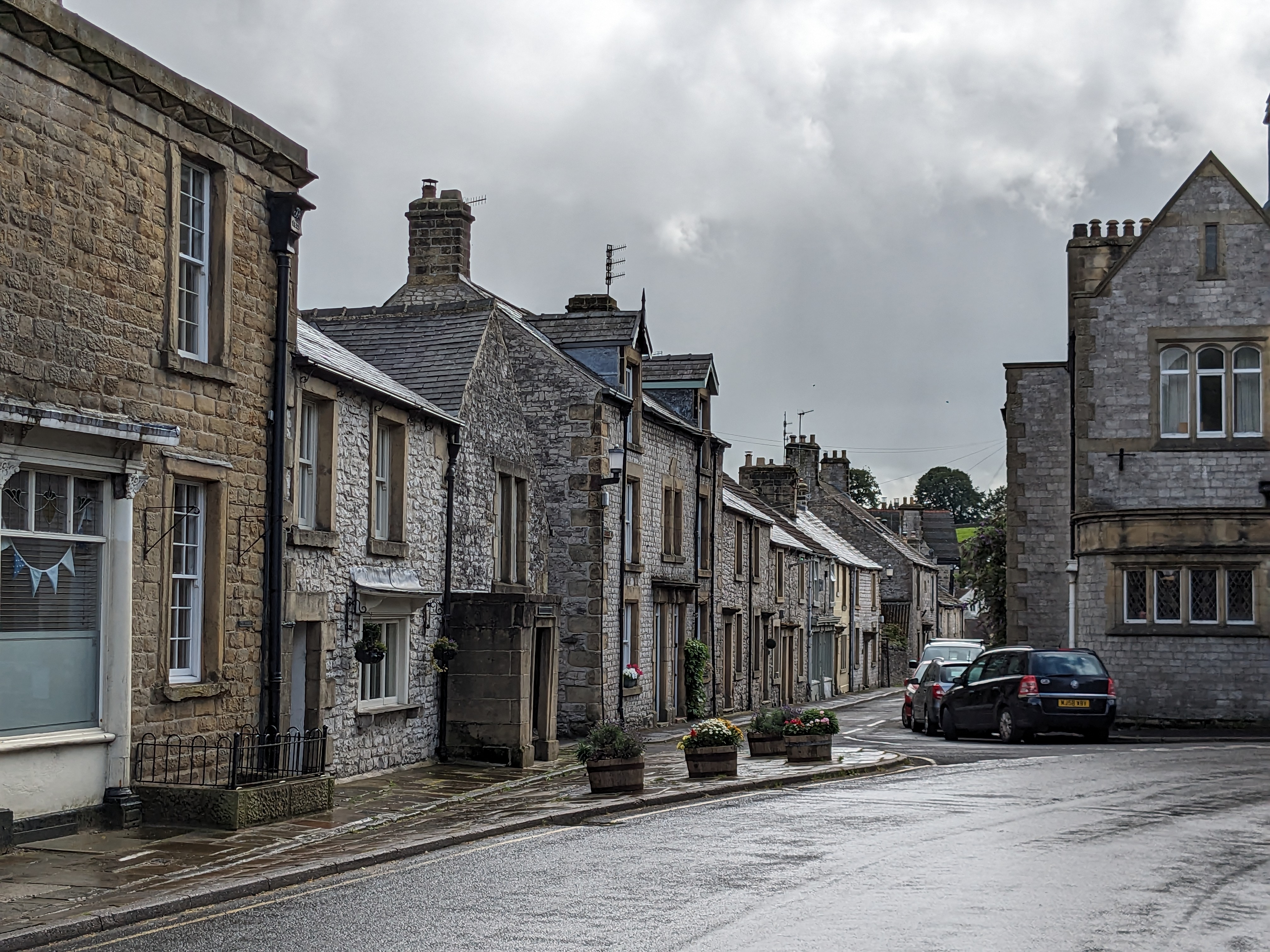
File:Street in Tideswell, UK.jpg
Michael Rowe, CC BY-SA 4.0

File:The George Hotel, Tideswell, Derbyshire (geograph 768206).jpg
Row17, CC BY-SA 2.0
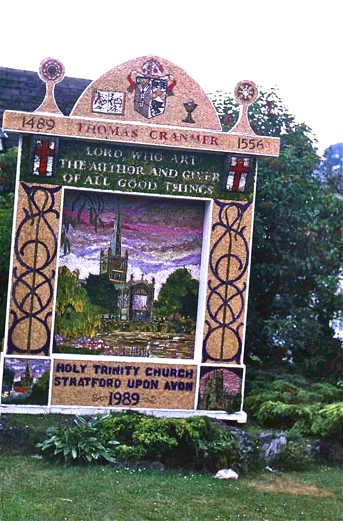
File:Tideswell well dressing 1989.jpg
Johnragla, CC BY-SA 3.0
Wikipedia description:
Tideswell is a village, civil parish, and ward in the Peak District of Derbyshire, England. It lies 6 miles (9.7 km) east of Buxton on the B6049, in a wide valley on a limestone plateau, at an altitude of 1,000 feet (300 m) above sea level, and is within the District of Derbyshire Dales. The population (including Wheston) was 1,820 in 2001, increasing slightly to 1,827 at the 2011 Census, making it the second-largest settlement within the National Park, after Bakewell. Tideswell Dale is a short limestone valley leading south from the village to the River Wye valley.
Read more on Wikipedia >