Greenford (London, England)
Enlarge text Shrink text- Greenford, Northolt & Perivale past, 1999
- Bart. gaz. of places in Britain, 1986:(Greenford, London: loc. in borough of Ealing 10m W of Charing Cross)
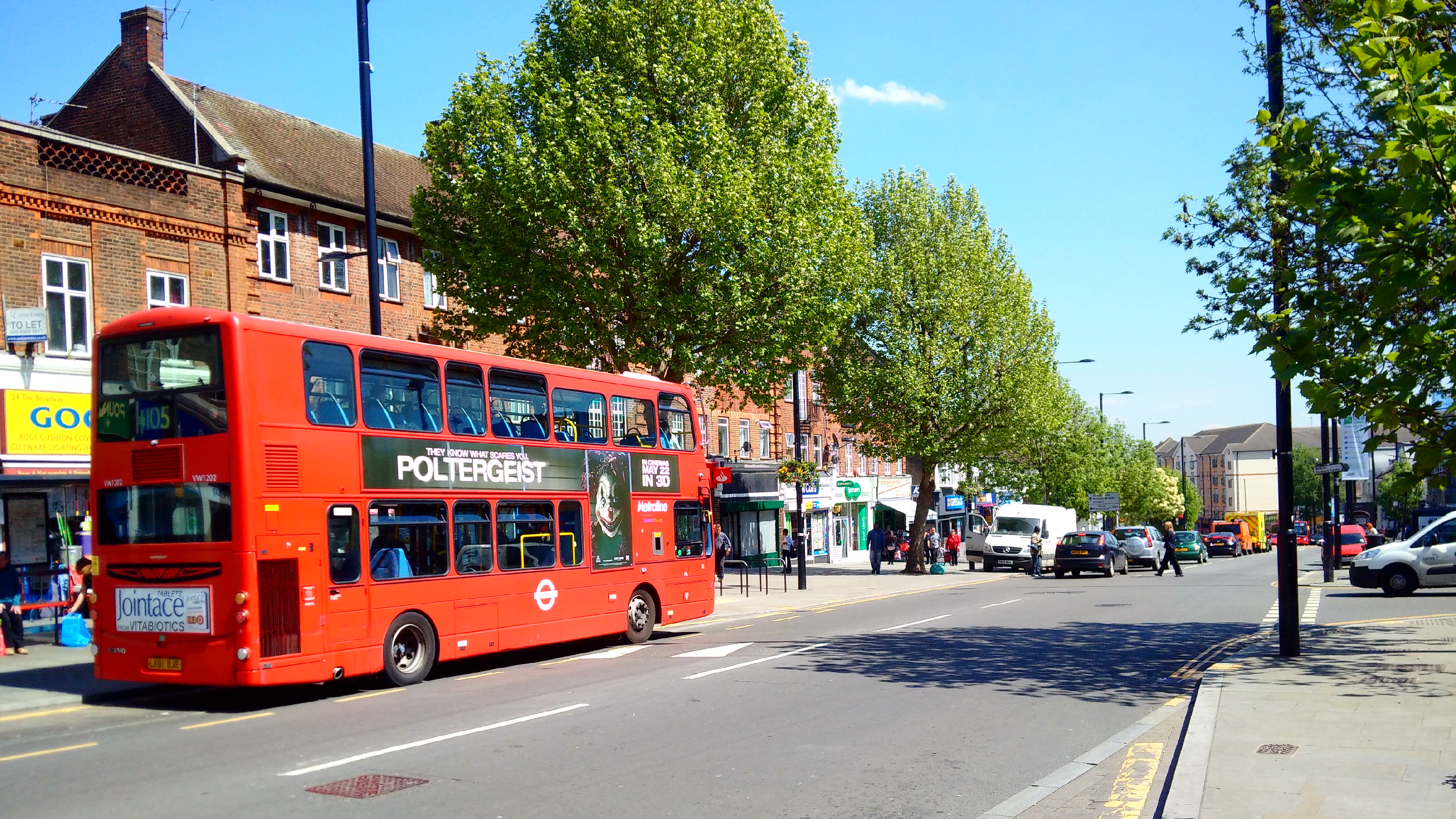
Greenford () is a large town in the London Borough of Ealing in West London, London, England, lying 11 miles (18 km) west from Charing Cross. It has a population of 46,787 inhabitants, or 62,126 with the inclusion of Perivale. Greenford is served by Greenford Station (London Underground Central Line and Greenford branch of the Great Western Railway mainline service). South Greenford mainline station (on the A40 Western Avenue, also on the Greenford branch of the GWR) is actually in Perivale. Neither station is in Greenford Town Centre (Greenford Broadway), which instead is served by many local buses. Nearby places include Yeading, Hanwell, Perivale, Southall, Northolt, Ealing, Sudbury and Sudbury Hill. The most prominent landmark in the suburb is Horsenden Hill, 279 feet (85 m) above sea level. Greenford covers a large area, including the two miles of Greenford Road, giving it three localities: North Greenford, Greenford Green, and Greenford Broadway – this is also reflected in the names of the electoral wards. Though a separate "town" within the borough of Ealing, the Royal Mail includes Perivale within the Greenford post area and as such the two share the UB6 postcode.
Read more on Wikipedia >
 Place
Place


