Preston Bissett (England)
Enlarge text Shrink text-
 Place
Place


- Memories of Preston Bissett, [1994?]:t.p. (Preston Bissett)
- Ordnance Survey WWW Site, 11 Feb. 2005(Preston Bissett, Buckinghamshire, village, 51⁰57.6ʹN, 1⁰2.8ʹW)

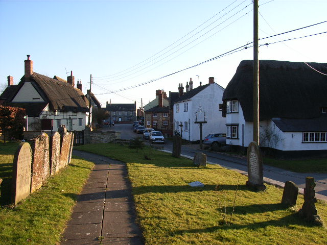
Preston Bissett is a village and civil parish in the unitary authority area of Buckinghamshire, England. It is about four miles SSW of Buckingham, six miles north east of Bicester in Oxfordshire. The soil is clay and gravel, but the subsoil varies. The parish is watered by a tributary of the River Great Ouse. The toponym "Preston" is common in England; it is derived from the Old English for "priest's farm". The Domesday Book of 1086 records the village as Prestone. The affix "Bissett" came later and refers to the lords of the manor, distinguishing it from other places called Preston. The village has a public house, the White Hart, a playing field, a cricket pitch, garden nurseries and a farm shop. As of 1927, the History of the County of Buckingham described the village as 'picturesque', mainly composed of thatched cottages grouped around the parish church, which in turn stood in a churchyard on rising ground; although it reported there were "a few modern residences" on the east end of the village.
Read more on Wikipedia >