Fort Preble (Me.)
Enlarge text Shrink text-
 Place
Place
|
מספר מערכת
987007482535105171

Information for Authority record
Name (Latin)
Fort Preble (Me.)
Other forms of name
United States. Fort Preble (Me.)
United States. Army. Fort Preble (Me.)
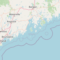
Coordinates
-70.22638889 -70.22638889 43.64861111 43.64861111 (gooearth )
W0701333 W0701333 N0433854 N0433854 (geonames )
Associated country
United States
MARC

MARC
Sources of Information
- NUCMC data from Maine Historical Society for Portland, Me., harbor defenses reports, 1907-1988(Fort Preble, Me.)
- Roberts, R.B. Encycl. hist. forts, c1988:p. 371 (Fort Preble; on Preble Point; 3 miles SE of Portland in the city's harbor; built 1808 by U.S. Army; garrisoned until the Civil War and continuously thereafter; military personnel temp. assigned from 1911 to 1947 when declared surplus)

Wikipedia description:
Fort Preble was a military fort in South Portland, Maine, United States, built in 1808 and progressively added to through 1906. The fort was active during all major wars from the War of 1812 through World War II. The fort was deactivated in 1950. It is now on the campus of Southern Maine Community College.
Read more on Wikipedia >