Breamore (England)
Enlarge text Shrink text-
 Place
Place
|
מספר מערכת
987007487120205171

Information for Authority record
Name (Latin)
Breamore (England)
Coordinates
W0014600 W0014600 N0505700 N0505700 (geonames )
Associated country
Great Britain
MARC

MARC
Sources of Information
- Breamore yesterday and today, c2005
- Ordnance Survey website, 11 May 2005:place name gaz. (Breamore, Hampshire; village, etc.; 50⁰57.9ʹN, 1⁰46.8ʹW)
1 / 8

Breamore House - the South Facade - geograph.org.uk - 870215
Mike Searle, CC BY-SA 2.0
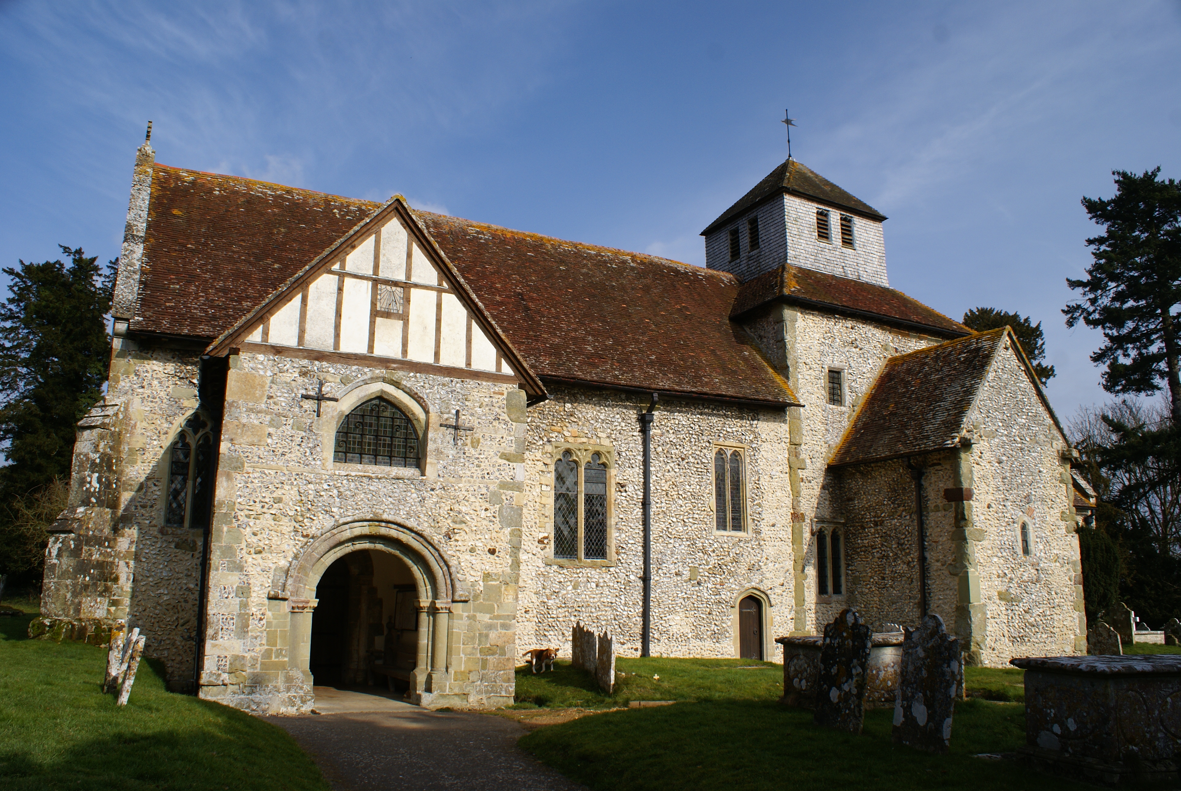
File:Breamore Church.JPG
Plumbago, CC BY-SA 3.0

File:Breamore House - the South Facade - geograph.org.uk - 870215.jpg
Mike Searle, CC BY-SA 2.0

File:Breamore Mill Hampshire.jpg
Ukiws, CC BY-SA 4.0
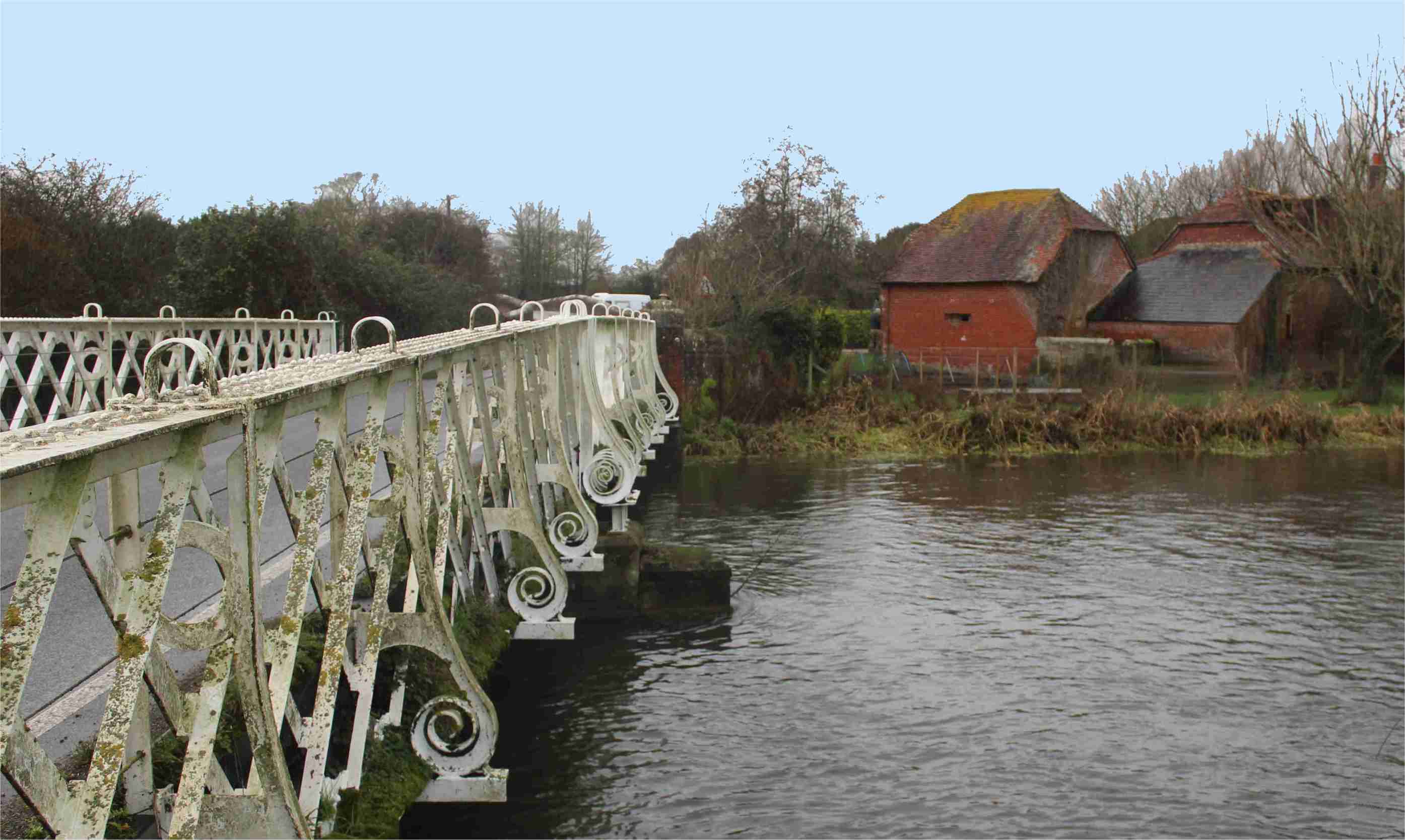
File:Breamore bridge ironwork.jpg
Ukiws, CC BY-SA 4.0

File:Giants grave long barrow breamore.jpg
Jim Champion, CC BY-SA 3.0

File:Stocks, Breamore - geograph.org.uk - 1284389.jpg
Trish Steel, CC BY-SA 2.0
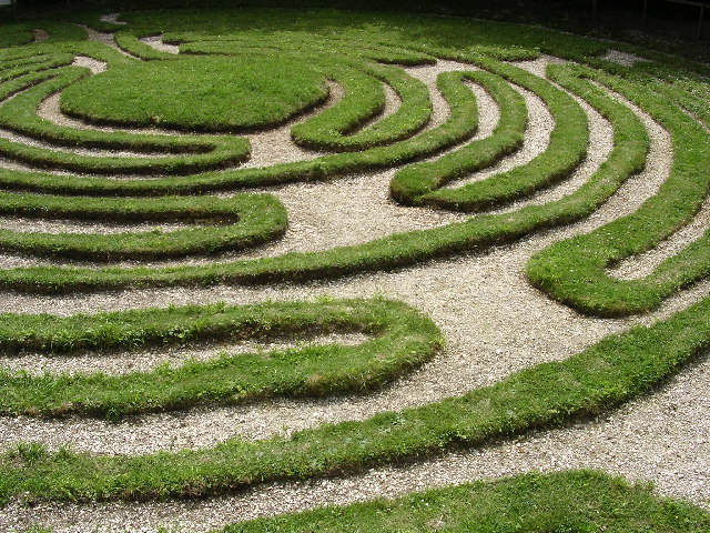
File:The Breamore Mizmaze - geograph.org.uk - 24118.jpg
Jim Champion, CC BY-SA 2.0
Wikipedia description:
Breamore ( BREM-ər) is a village and civil parish near Fordingbridge in Hampshire, England. The parish includes a notable Elizabethan country house, Breamore House, built with an E-shaped ground plan. The Church of England parish church of Saint Mary has an Anglo-Saxon rood.
Read more on Wikipedia >