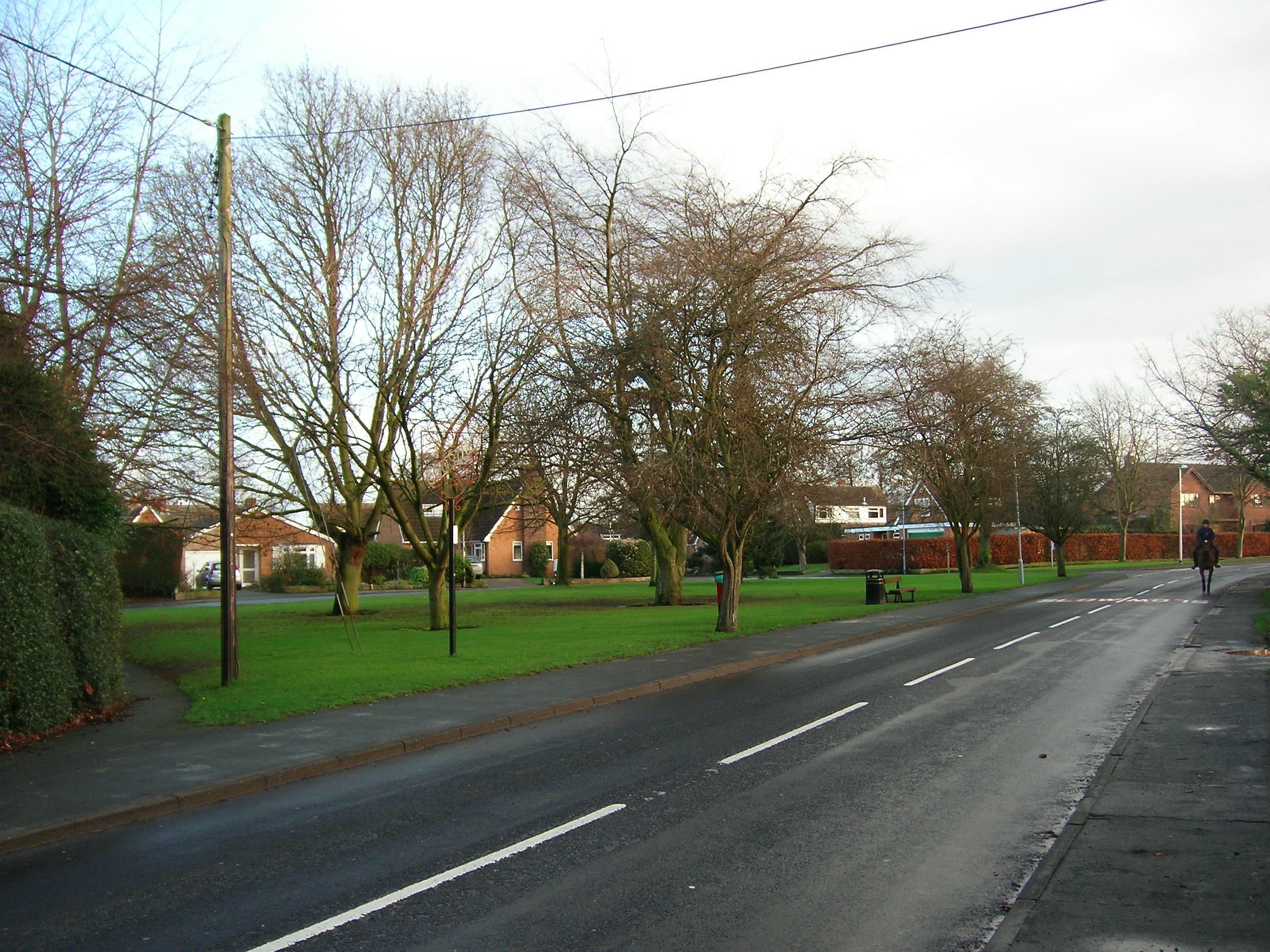
Goostrey (England)
Enlarge text Shrink text-
 Place
Place
|
מספר מערכת
987007489428905171

Information for Authority record
Name (Latin)
Goostrey (England)
Coordinates
W0022000 W0022000 N0531400 N0531400 (geonames )
Associated country
Great Britain
MARC

MARC
Sources of Information
- Goostrey remembered, 2000.
- Bart. gaz. of pl. in Brit., 1986:(Goostrey, Ches. vil. 2m/3km NE of Holmes Chapel)
1 / 5

Goostrey church
Ydam, CC BY 2.5

File:Goostrey - St Luke's Church - geograph.org.uk - 6325754.jpg
Colin Park  , CC BY-SA 2.0

File:Goostrey church.jpg
Ydam, CC BY 2.5
File:Goostrey west.jpg
Ydam, CC BY 2.5
File:Jbo-gavin-hollinshead.jpg
Jaguar22, CC BY-SA 4.0
Wikipedia description:
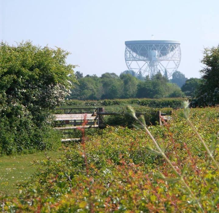
Goostrey is a village and civil parish in the unitary authority of Cheshire East and the ceremonial county of Cheshire, England. It is in open countryside, 14 miles (23 km) north-east of Crewe and 12 miles (19 km) west of Macclesfield. The parish contains the Lovell Radio Telescope at Jodrell Bank Observatory, a UNESCO World Heritage site. At the 2011 census, it had a population of 2,179 in 956 housesholds. It contains 24 listed heritage assets and one scheduled monument (a bowl barrow near Jodrell Bank Farm). The parish also includes the hamlets of Blackden, Blackden Heath and Jodrell Bank.
Read more on Wikipedia >