Bowdon (England)
Enlarge text Shrink text-
 Place
Place
|
מספר מערכת
987007489566705171

Information for Authority record
Name (Hebrew)
באודן (אנגליה)
Name (Latin)
Bowdon (England)
Coordinates
W0022155 W0022155 N0532235 N0532235 (geonames )
Associated country
Great Britain
MARC

MARC
Other Identifiers
Sources of Information
- Culcheth Hall, 1991?:p.1 (Bowdon)
- Ordnance Survey WWW site, 14 June 2005(Bowdon, Trafford; village, etc.; 53⁰22.5ʹN, 2⁰22.1ʹW)
- Collins Brit. atlas & gaz., c1999(Bowdon, Gt. Manchester, small town, 1mi./2km. SW of Altrincham)
1 / 2

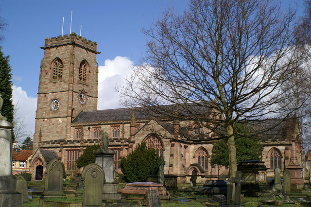
St Mary's Church, Bowdon
David Long, CC BY-SA 2.0
File:St Mary's Church, Bowdon.jpg
David Long, CC BY-SA 2.0
Wikipedia description:
Bowdon is a suburb of Altrincham and electoral ward in the Metropolitan Borough of Trafford, Greater Manchester, England. It lies within the historic county boundaries of Cheshire, and became part of Greater Manchester in 1974.
Read more on Wikipedia >