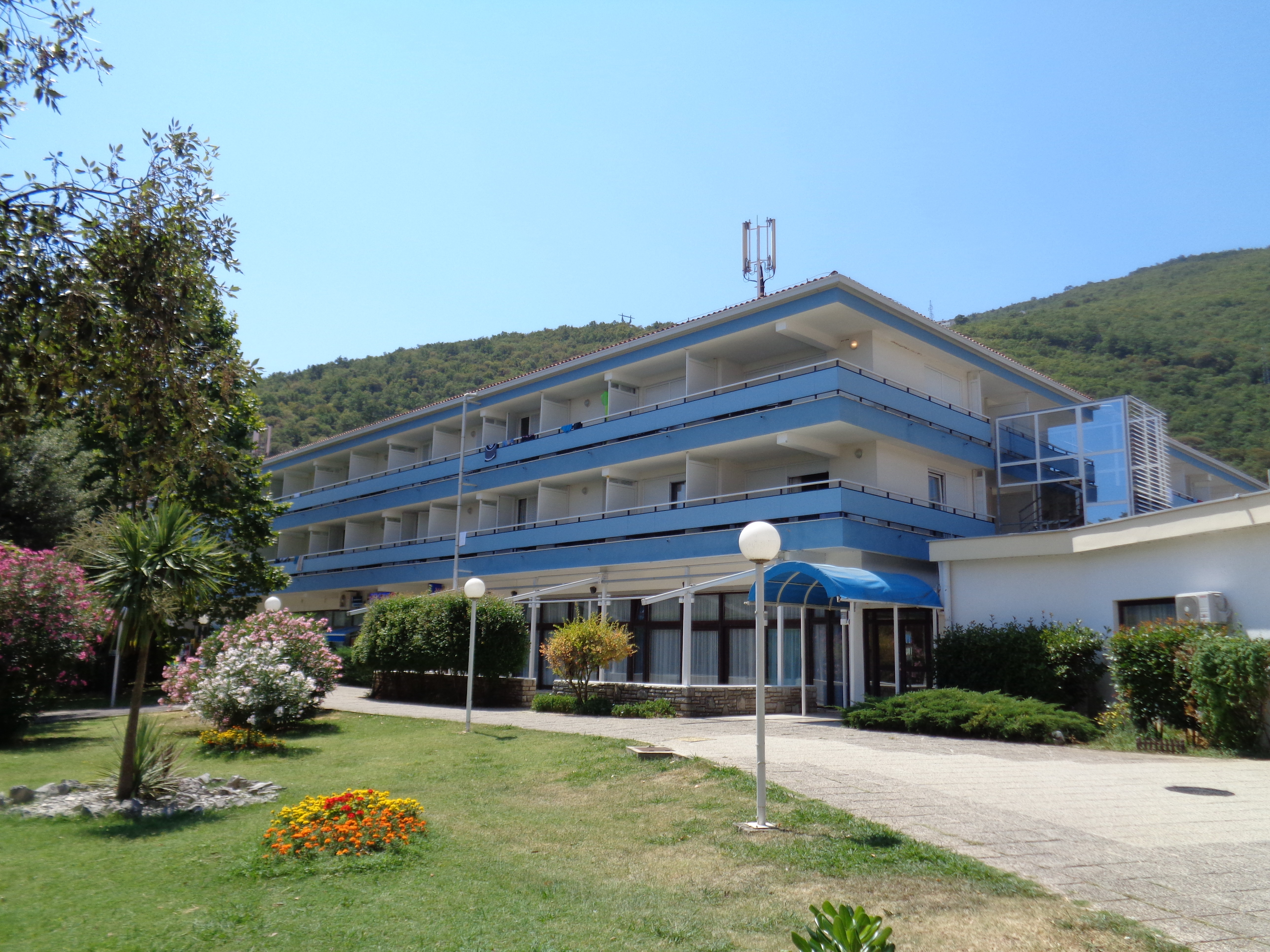
Mošćenička Draga (Croatia)
Enlarge text Shrink text
Information for Authority record
Other Identifiers
Sources of Information
- Okrugli stol Eugen Kumičić--život i djelo, 2002:t.p. (Mošćenička Draga)
- Brseč website, Nov. 20, 2003:(Mošćenička Draga is a small seaside resort, situated in the north-western part of Republic of Croatia, on the east coast of the colorful istrian peninsula.)
1 / 5
Wikipedia description:
Mošćenička Draga (Italian: Draga di Moschiena) is municipality in Primorje-Gorski Kotar County, Croatia. It is situated southwest of Opatija under Mt. Učka. The settlement of Mošćenička Draga developed as a fishing port of the town of Mošćenice, and was first mentioned in 1436. The centre of the municipality is the former fishing village of Mošćenička Draga which is today a tourist resort with two beaches, small marina and walking paths. Above Mošćenička Draga there is the hilltop town of Mošćenice.
Read more on Wikipedia >
 Place
Place


