Old Buckenham (England)
Enlarge text Shrink text-
 Place
Place
|
מספר מערכת
987007498903105171

Information for Authority record
Name (Latin)
Old Buckenham (England)
Coordinates
E0010300 E0010300 N0522900 N0522900 (geonames )
Associated country
Great Britain
MARC

MARC
Sources of Information
- Overland Trails Digital Library Collection, 2001(Old Buckenham (England))
- NIMA, Nov. 14, 2001(Old Buckenham; United Kingdom; populated place 52deg. 29min. 00sec. N 001deg. 03min. 00sec.E)
1 / 3

Old Buckenham Church - geograph.org.uk - 380007
Ian Robertson, CC BY-SA 2.0
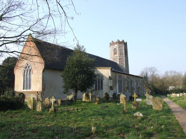
File:Old Buckenham Church - geograph.org.uk - 380007.jpg
Ian Robertson, CC BY-SA 2.0
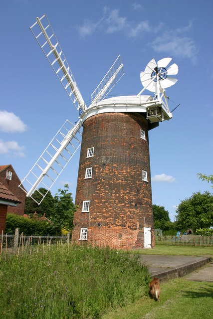
File:Old Buckenham Mill.jpg
Jim Woodward-Nutt, CC BY-SA 2.0
Wikipedia description:
Old Buckenham is a village and civil parish in the English county of Norfolk, approximately 29 km (18 mi) south-west of Norwich. It covers an area of 20.06 km2 (7.75 sq mi) and had a population of 1,294 in 658 households at the 2001 census falling to a population of 1,270 living in 529 households at the census 2011. For the purposes of local government, it falls within the district of Breckland.
Read more on Wikipedia >