Fort Thomas (Ariz.)
Enlarge text Shrink text-
 Place
Place
|
מספר מערכת
987007498939405171

Information for Authority record
Name (Latin)
Fort Thomas (Ariz.)
Other forms of name
United States. Army. Fort Thomas
Camp Thomas (Ariz.)
Maxey (Ariz.)
Thomas, Fort (Ariz.)
Coordinates
W1095755 W1095755 N0330213 N0330213 (geonames )
Associated country
United States
MARC

MARC
Other Identifiers
Sources of Information
- Fort Thomas, 1879, 1999?:videocassette label (Fort Thomas)
- Arizona's names, c1983(Army post est. 1876 as Camp Thomas; name changed to Fort Thomas in 1877; Maxey, civil adjunct to Fort Thomas)
- BGN, August, 12, 1999Fort Thomas; 33p0s 02'N 109p0s 57'W; variant, Maxey)
1 / 5

Fort Thomas Arizona Picnic 1886
Unknown

File:Fort Thomas-1864-1.jpg
Marine 69-71, CC BY-SA 4.0

File:Fort Thomas-Southern Pacific Railroad Depot ruins-1864.jpg
Marine 69-71, CC BY-SA 4.0
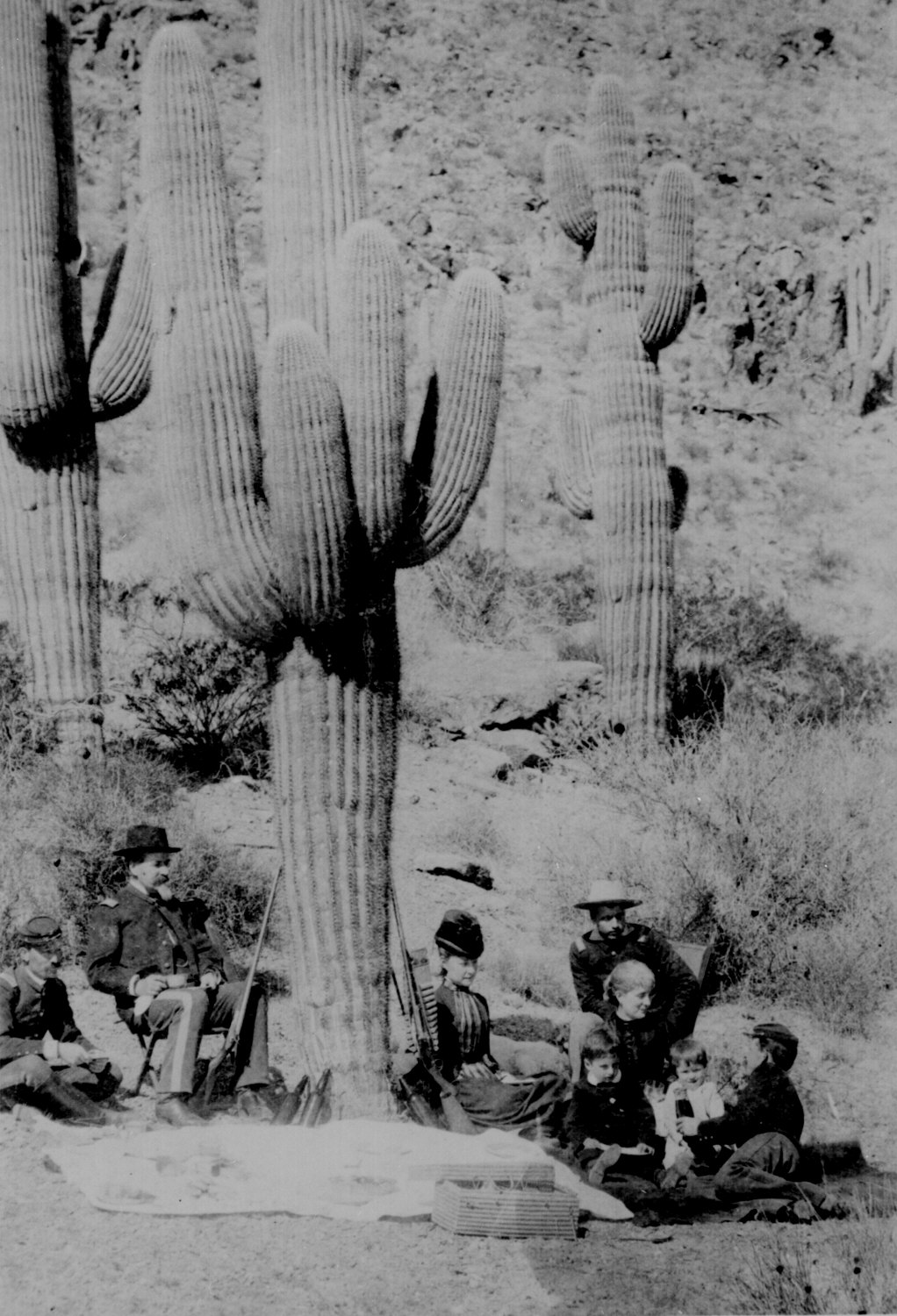
File:Fort Thomas Arizona Picnic 1886.jpg
Unknown

File:Geronimo-1876.jpg
Marine 69-71, CC BY-SA 4.0
Wikipedia description:
Fort Thomas (Western Apache: Gowąh Golgai Gohoshé) is a census-designated place in Graham County, Arizona, United States. Its population was 319 as of the 2020 census. The community has an elementary school and a high school. It is part of the Safford Micropolitan Statistical Area. Fort Thomas has a ZIP code of 85536.
Read more on Wikipedia >