Trumpington (England)
Enlarge text Shrink text-
 Place
Place


- Overland Trails Digital Library Collection, 2001(Trumpington (England))
- Getty, Oct. 29, 2001(Trumpington (inhabited place) Cambridgeshire County, England 52deg. 11min.N 000deg. 07min.E variant names: Trumpinton, Trumpintone)
- GeoNet, Oct. 29, 2001(Trumpington, United Kingdom, PPL 52deg. 10min. 00sec.N 000deg. 07min. 00sec.E)

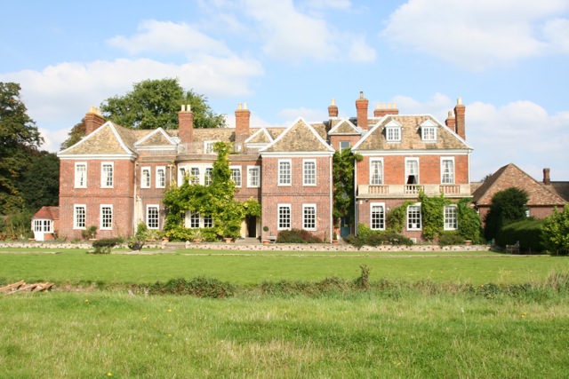


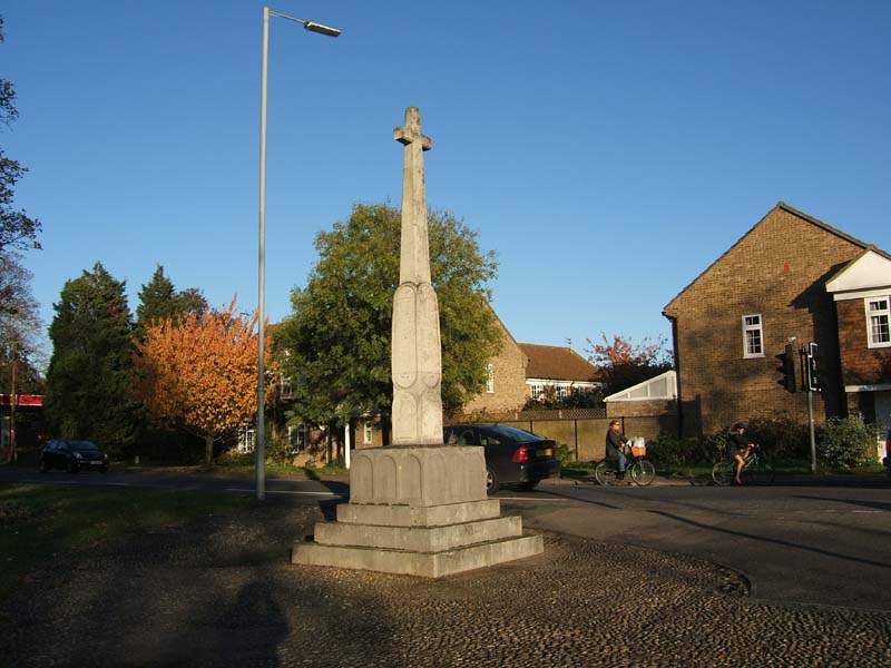
Trumpington is a village to the south of Cambridge, in the Cambridge district, in the county of Cambridgeshire, England. The village is an electoral ward of the City of Cambridge and a ward of South Cambridgeshire District Council. The 2011 Census recorded the ward's population as 8,034. The village was a separate parish from the Anglo-Saxon era until the 20th century. In 1912 all of the land north of Long Road was transferred to Cambridge, and on 1 April 1934 most of the remaining land, including all of the village, was also given over to Cambridge. Only 382 acres (155 ha), almost uninhabited, were transferred to Haslingfield parish. In 1931 the parish had a population of 1183. The Cambridge Local Plan 2006 took land around the village out of the green belt and paved the way for an urban extension due for completion in 2023. A map of the enlarge village is available in The Trumpet, a community magazine produced by the parish church.
Read more on Wikipedia >