Pigeon Island/Wāwāhi Waka (N.Z.)
Enlarge text Shrink text-
 Place
Place
|
מספר מערכת
987007530887005171

Information for Authority record
Name (Latin)
Pigeon Island/Wāwāhi Waka (N.Z.)
Other forms of name
Pigeon Island (Otago, N.Z.)
Wāwāhi Waka (N.Z. : Island)
See Also From tracing topical name
Islands New Zealand
MARC

MARC
Other Identifiers
Wikidata:
Q7193296
Library of congress:
sh2008007533
Sources of Information
- Work cat.: Wigley, B.L. Pigeon Island (Lake Wakatipu), 1981.
- NZ geog. placenames database, Feb. 15, 2008(Pigeon Island/Wawahi Waka, Otago, island)
- GEOnet, Feb. 15, 2008(Pigeon Island, isl., 44°55ʹ00ʺS 168°24ʹ00ʺE)
- NZ Government Executive Ngāi Tahu Settlement WWW site, Feb. 15, 2008:Ngāi Tahu deed of settlement, attachment 12.146, list of place names to be amended (Pigeon Island/Wāwāhi Waka)
- Te Rūnanga o Ngāi Tahu WWW site, Feb. 15, 2008:Mana recognition (The Crowns Settlement Offer to the Ngāi Tahu provided for 88 place names to be changed in almost all cases names are to be joint English/Māori names)
1 / 3
 with details - 01.png)
Pigeon Island (New Zealand) with details - 01
Grapeman4, CC BY-SA 3.0
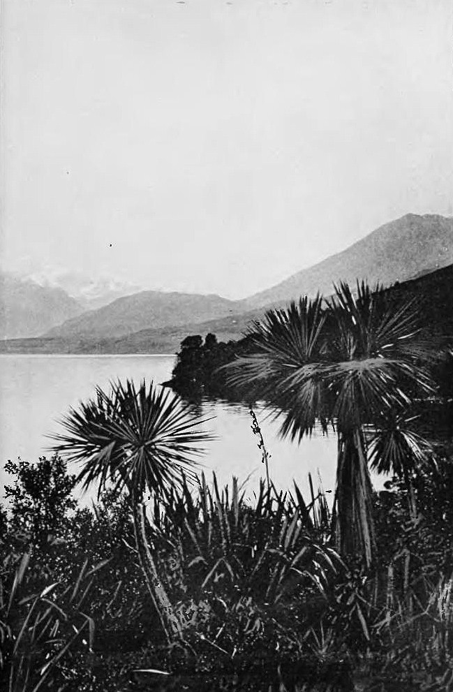
File:Head of lake wakatipu from pigeon island-Picturesque New Zealand, 1913.jpg
Muir & Moodie, Public domain

File:Pigeon Island in Lake Wakatipu.jpg
Pseudopanax at English Wikipedia, Public domain
Wikipedia description:
Pigeon Island / Wāwāhi Waka is an island in the northern reaches of New Zealand's Lake Wakatipu, near the township of Glenorchy. It is 170 hectares in size and is the largest island in the lake. In 1884, during Queen Victoria's reign, it was gifted by the Crown as a reserve to the people of Queenstown district for their use and enjoyment. There are several walking tracks around the island which makes it easy to navigate to most parts of the island. Because its proximity to the lake creates a mild climate it is the only place in the Wakatipu Basin in which naturally occurring Kahikatea can be found.
Read more on Wikipedia >