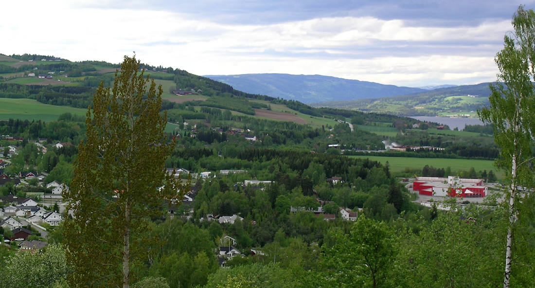
Biri (Norway)
Enlarge text Shrink text
Information for Authority record
Other Identifiers
Sources of Information
- Proceedings of the second and third annual meetings of the International Boreal Forest Research Association [MI] 1994:
- GNIS, Norway
- Times atlas
1 / 2
Wikipedia description:
Biri is a village in Gjøvik Municipality in Innlandet county, Norway. The village is located along the western shore of the lake Mjøsa, about 20 kilometres (12 mi) north of the town of Gjøvik. The Norwegian National Road 4 highway runs through the village which is near the Mjøsa Bridge about halfway between the towns of Lillehammer and Gjøvik. The 2.03-square-kilometre (500-acre) village has a population (2021) of 1,495 and a population density of 738 inhabitants per square kilometre (1,910/sq mi).
Read more on Wikipedia >
 Place
Place


