Zagarolo (Italy)
Enlarge text Shrink text-
 Place
Place
|
מספר מערכת
987007533530805171

Information for Authority record
Name (Hebrew)
זגרולו (איטליה)
Name (Latin)
Zagarolo (Italy)
Coordinates
E0124838 E0124838 N0415035 N0415035 (geonames )
Associated country
Italy
MARC

MARC
Sources of Information
- Zagarolo, 1985.
- Times atlas of the world, 1977:index, p. 222 (Zagarolo, Italy, 41.50N, 12.50E)
1 / 3

Touro university rome-Sede
Original uploader was EdoM at it.wikipedia, CC BY-SA 3.0
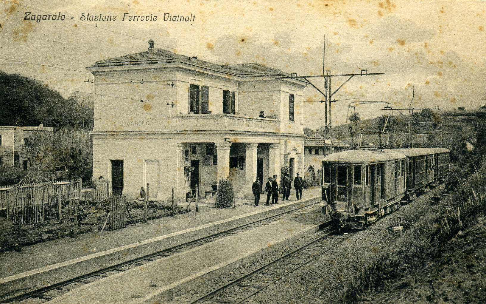
File:Stazione Vicinali Zagarolo 1927 img023.jpg
Unknown author, Public domain

File:Touro university rome-Sede.jpg
Original uploader was EdoM at it.wikipedia, CC BY-SA 3.0
Wikipedia description:
Zagarolo is a town and comune in the Metropolitan City of Rome, in the region of Lazio of central Italy. It lies 34 kilometres (21 mi) southeast of Rome, and it borders the municipalities of Colonna, Gallicano nel Lazio, Monte Compatri, Palestrina, Rome, San Cesareo (former frazione of Zagarolo). Zagarolo's town centre lies on a very narrow tuff hill, 2 kilometres (1.2 mi) long and about 100 metres (330 ft) wide, at an elevation of 310 metres (1,020 ft), surrounded by green valleys. The southern continuation of an important pilgrim route, the Via Francigena passes through the Zagarolo countryside.
Read more on Wikipedia >