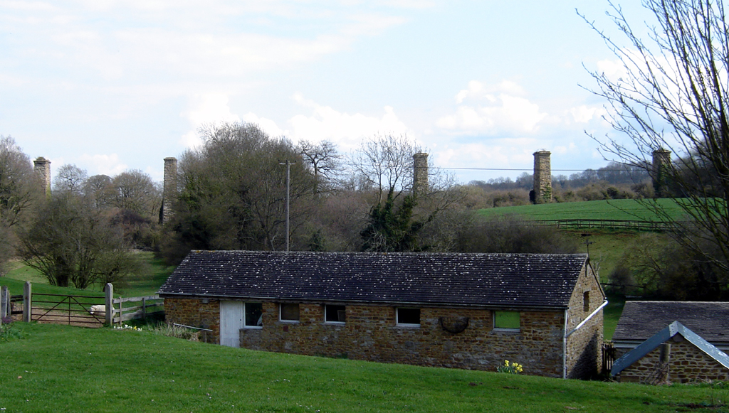
Hook Norton (England)
Enlarge text Shrink text
Information for Authority record
Sources of Information
- Its An Act for Dividing and Inclosing the Open and Common Fields ... within the Parish and Liberties of Hook-Norton and Southrop, in the County of Oxford, 1773.
- Bartholomew gaz. of places in Brit., 1986(Hook Norton, Oxfordshire; vil. 5 miles NE of Chipping Norton)
- Bartholomew, J.G. Survey gaz. of the Brit. Isles, 1950(Hook Norton, vil. and parish, Oxfordshire; 5 miles NE of Chipping Norton)
1 / 3
Wikipedia description:
Hook Norton is a village and civil parish in Oxfordshire, England. It lies 4+1⁄2 miles (7 km) northeast of Chipping Norton, close to the Cotswold Hills. The 2011 Census recorded the parish's population as 2,117. The village is formed of four neighbourhoods: East End, Scotland End (in the west), Down End (in the centre) and Southrop (in the south).
Read more on Wikipedia >
 Place
Place


