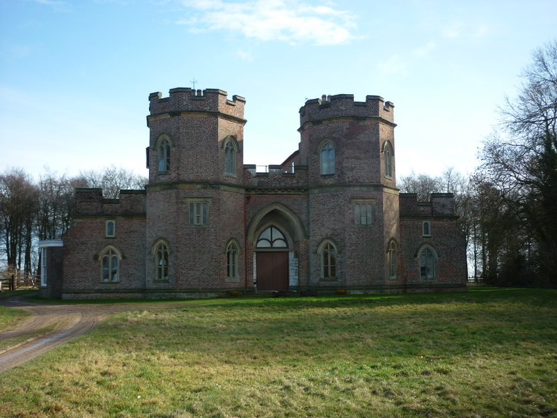
Sledmere (England)
Enlarge text Shrink text
Information for Authority record
Sources of Information
- East Yorkshire miscellany I, 1992:p. 40 (Sledmere)
- Barth. gaz. of places in Brit.(Sledmere, Humberside, 7m NW of Gt. Driffield)
1 / 8
Wikipedia description:
Sledmere is a village in the East Riding of Yorkshire, England, about 7 miles (11 km) north-west of Driffield on the B1253 road. The village lies in a civil parish which is also officially called "Sledmere" by the Office for National Statistics, although the county council and parish council refer to it as Sledmere and Croome, as the parish also includes the nearby hamlet of Croome. According to the 2011 UK census, the parish had a population of 377, an increase on the 2001 UK census figure of 197; the parish covers an area of 2,849 hectares (7,040 acres).
Read more on Wikipedia >
 Place
Place


