Scoresby Sound (Greenland)
Enlarge text Shrink text- Work cat.: 92213427: Marienfeld, P. Holozäne Sedimentationsentwicklung im Scoresby Sund, Ost-Grönland, 1991.
- LC database, Dec. 2, 1992(Scoresby Sound; Scoresby Sund)
- Lippincott(Scoresby Sound: deep inlet & fjord system of Greenland Sea, E Greenland, 69⁰55ʹ-72⁰2ʹN, 22⁰-28⁰57ʹW)
- Web. geog.
- Old catalog heading(Scoresby Sound)
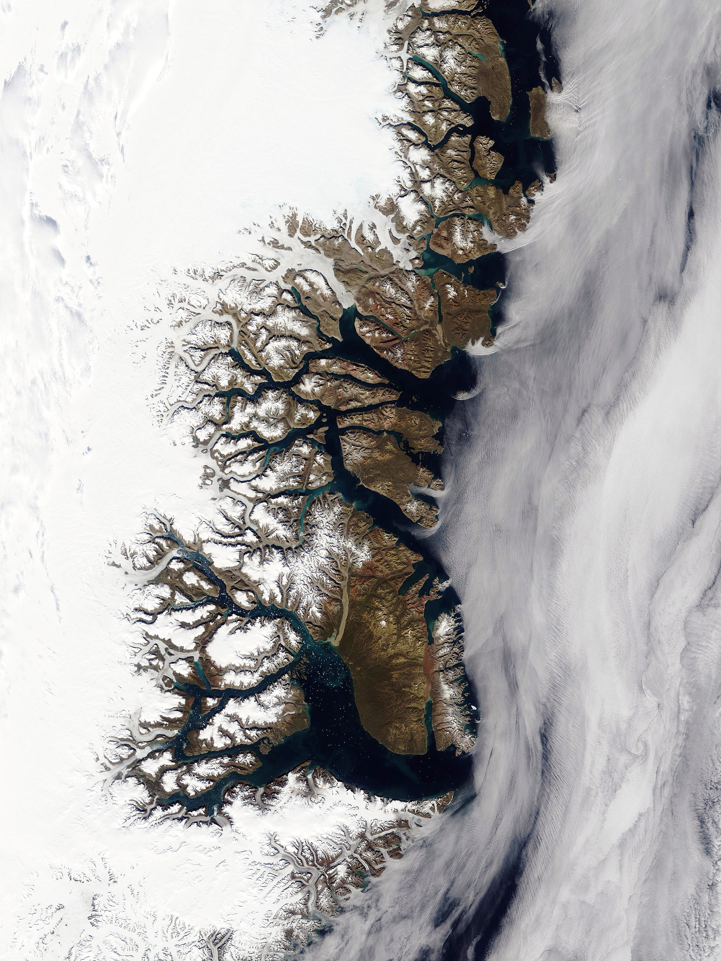
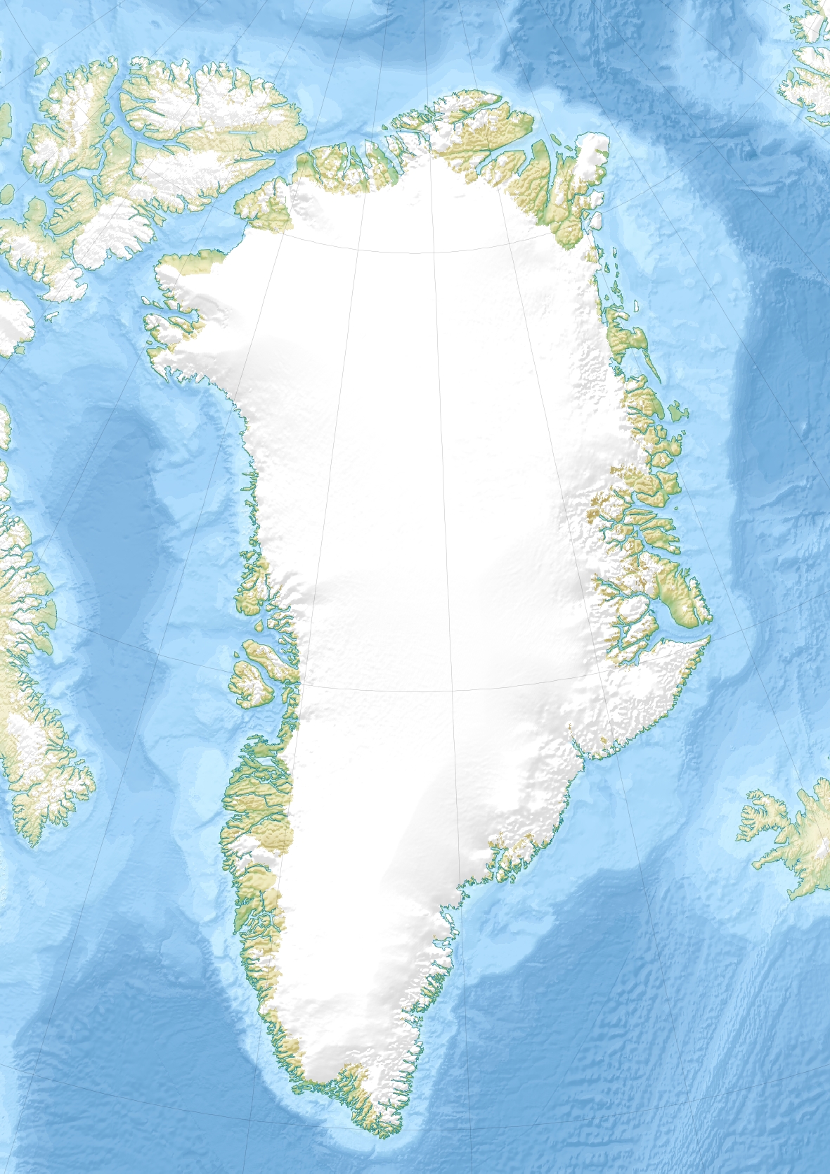
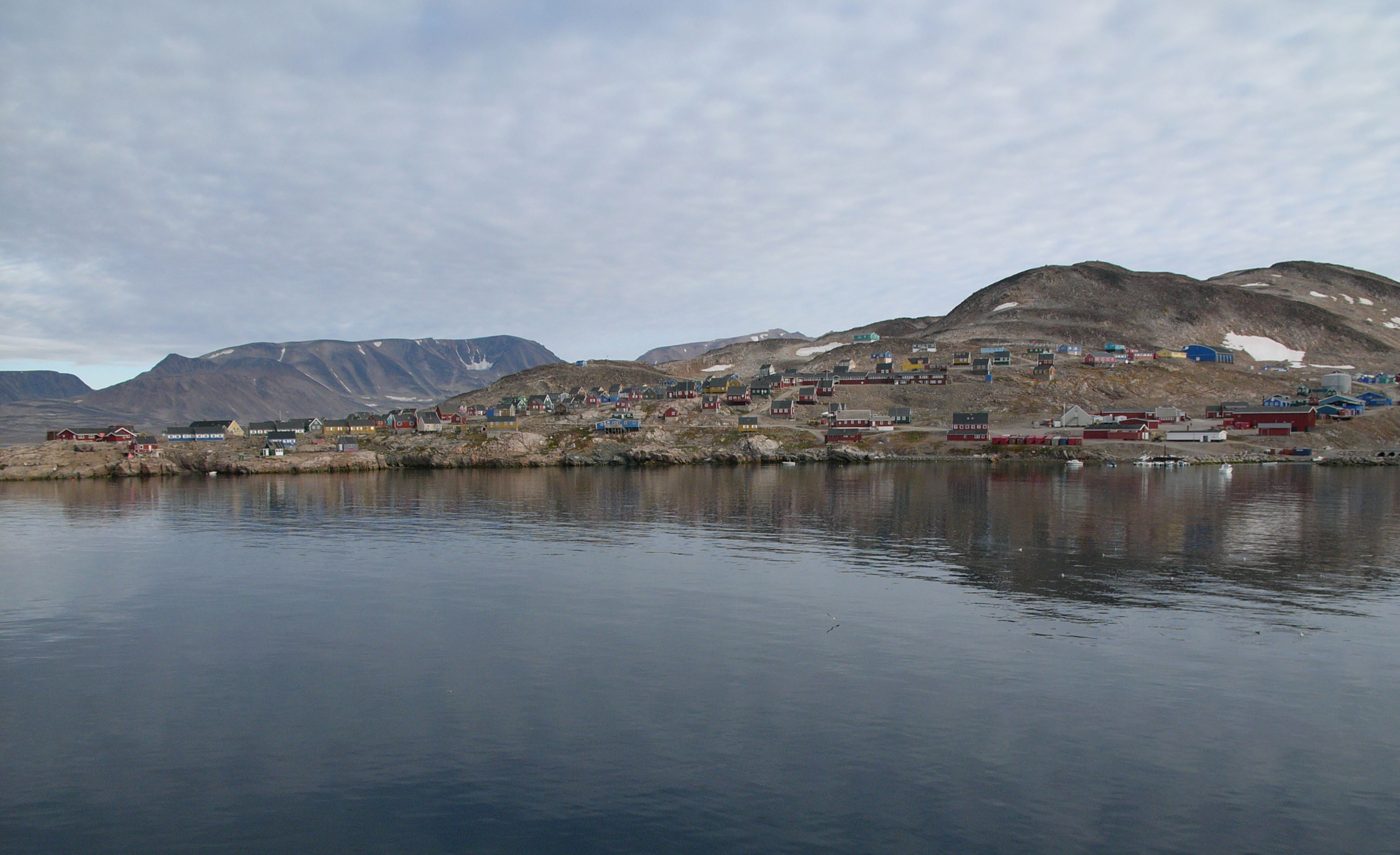
Scoresby Sound (Danish: Scoresby Sund, Greenlandic: Kangertittivaq) is a large fjord system of the Greenland Sea on the eastern coast of Greenland. It has a tree-like structure, with a main body approximately 110 km (68 mi) long that branches into a system of fjords covering an area of about 38,000 km2 (14,700 sq mi). The longest of the fjords extends 340–350 km (210-216 mi) inland from the coastline. The depth is 400–600 m (1,310-1,970 ft) in the main basin, but depths increase to up to 1,450 m (4,760 ft) in some fjords. It is one of the largest and longest fjord systems in the world. On the northern side of the mouth of the Scoresby Sound stands Ittoqqortoormiit, the only permanent settlement in the region, with a population of 469 (in 2010). The name of the sound honours English explorer William Scoresby, who in 1822 mapped the fjord area in detail. The name “Sound” comes from the Scandinavian word “Sund” for “strait”, which is commonly used to describe narrow waterways between landmasses.
Read more on Wikipedia >
 Place
Place


