Washington, Mount (N.H.)
Enlarge text Shrink text-
 Place
Place


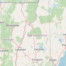

Mount Washington is an ultra-prominent mountain in the state of New Hampshire. It is the highest peak in the Northeastern United States at 6,288.2 ft (1,916.6 m) and the most topographically prominent mountain east of the Mississippi River. The mountain is notorious for its erratic weather. On the afternoon of April 12, 1934, the Mount Washington Observatory recorded a windspeed of 231 miles per hour (372 km/h) at the summit, the world record from 1934 until 1996. Mount Washington still holds the record for highest measured wind speed not associated with a tornado or tropical cyclone. The mountain is located in the Presidential Range of the White Mountains, in Coös County, New Hampshire. The mountain is in several unincorporated townships, with the summit in the township of Sargent's Purchase. While nearly the whole mountain is in the White Mountain National Forest, an area of 60.3 acres (24.4 ha) surrounding and including the summit is designated as Mount Washington State Park. The Mount Washington Cog Railway ascends the western slope of the mountain, and the Mount Washington Auto Road climbs to the summit from the east. The mountain is visited by hikers from various approaches, including the Appalachian Trail, which traverses the summit. Other common activities include glider flying, backcountry skiing, and annual cycle and running races such as the Auto Road Bicycle Hillclimb and Road Race.
Read more on Wikipedia >