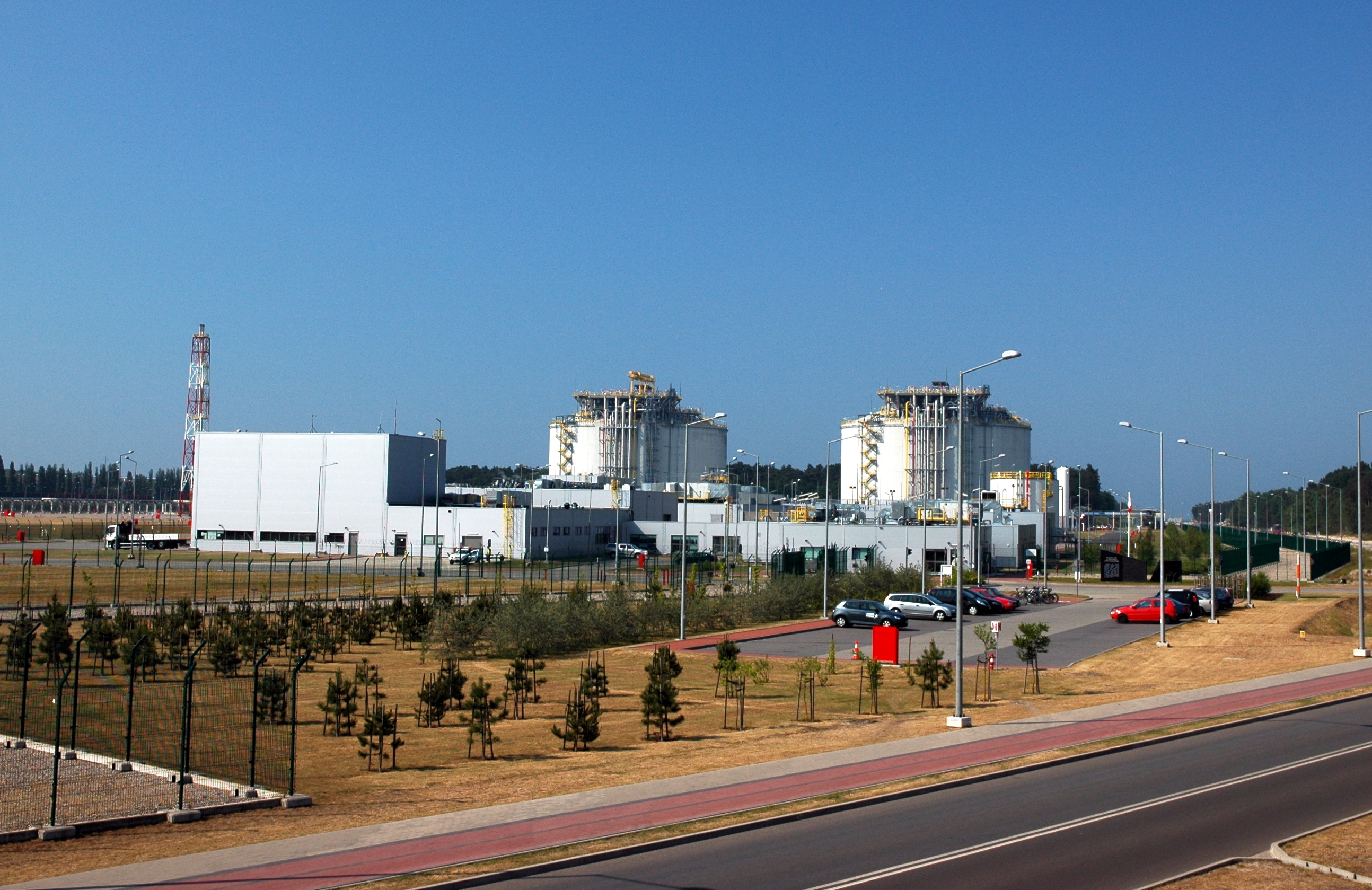
Wolin Island (Poland)
Enlarge text Shrink textWolin (Polish: [ˈvɔlin]; German: Wollin [vɔˈliːn]) is a Polish island in the Baltic Sea, just off the Polish coast. Administratively, the island belongs to the West Pomeranian Voivodeship. Wolin is separated from the island of Usedom (Uznam) by the Strait of Świna, and from mainland Pomerania by the Strait of Dziwna. The island has an area of 265 km2 (102 sq mi) and its highest point is Mount Grzywacz at 116 m above sea level. The number of inhabitants is 30,000. Eastern suburbs of the city of Świnoujście extend to the Wolin island, while the towns of Międzyzdroje and Wolin lie further east. Water from the river Oder flows into the Szczecin Lagoon and from there through the Peene west of Usedom, Świna and Dziwna into the Bay of Pomerania in the Baltic Sea. Most of the island consists of forests and postglacial hills. In the middle is the Wolin National Park. The island is the main tourist attraction of northwestern Poland, and it is crossed by several marked tourist trails, such as a 73-kilometer-long (45 mi) trail from Międzyzdroje to Dziwnówek. There is a main, electrified rail line, which connects Szczecin and Świnoujście, as well as the international road E65 (national road 3 / S3 expressway) crossing the island. Some etymologists believe that the name is related to the name of the ancient historical region of Volhynia. The origins of the name then would come from the resettled Volynians who named the island Volyn.
Read more on Wikipedia >
 Place
Place


