Lisbon Earthquake, Portugal, 1755
Enlarge text Shrink text- Work cat.: Chantal, S. La vie quotidienne au Portugal après le tremblement de terre de Lisbonne de 1755, 1962.
- USGS Earthquake Hazards Program/Magnitudes of significant earthquakes web site, May 5, 2003(Lisbon, Portugal, Nov. 1, 1755, 8.7)
- Web site GeoForecaster, June 30, 2003("near the epicenter of the great Lisbon earthquake in 1755")
- Web site Ohio State University, June 30, 2003(Articles: Lusophone Regions: Lisbon Earthquake)
- Web PDF file Deterministic Seismic Hazard Assessment for North Morocco, June 30, 2003("The question arises whether a very large event like the Nov. 1, 1755 earthquake (the well known 'Lisbon earthquake') occurring offshore the Portuguese coasts, could increase the hazard level in Morocco")
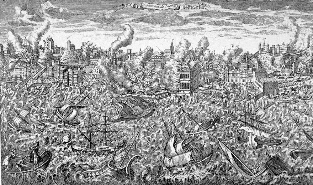
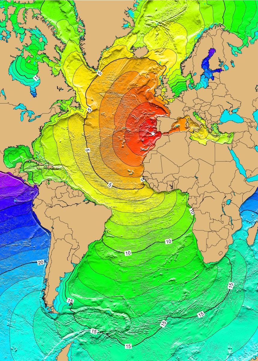
The 1755 Lisbon earthquake, also known as the Great Lisbon earthquake, impacted Portugal, the Iberian Peninsula, and Northwest Africa on the morning of Saturday, 1 November, Feast of All Saints, at around 09:40 local time. In combination with subsequent fires and a tsunami, the earthquake almost completely destroyed Lisbon and adjoining areas. Seismologists estimate the Lisbon earthquake had a magnitude of 7.7 or greater on the moment magnitude scale, with its epicenter in the Atlantic Ocean about 200 km (110 nmi; 120 mi) west-southwest of Cape St. Vincent, a cape in Algarve region, and about 290 km (160 nmi; 180 mi) southwest of Lisbon. Chronologically, it was the third known large-scale earthquake to hit the city (following those of 1332 and 1531). Estimates place the death toll in Lisbon around 30,000–40,000. A further 10,000 may have died in Morocco. The earthquake accentuated political tensions in Portugal and profoundly disrupted the Portuguese Empire. The event was widely discussed and dwelt upon by European Enlightenment philosophers, and inspired major developments in theodicy. As the first earthquake studied scientifically for its effects over a large area, it led to the birth of modern seismology and earthquake engineering.
Read more on Wikipedia >
 Topic
Topic


