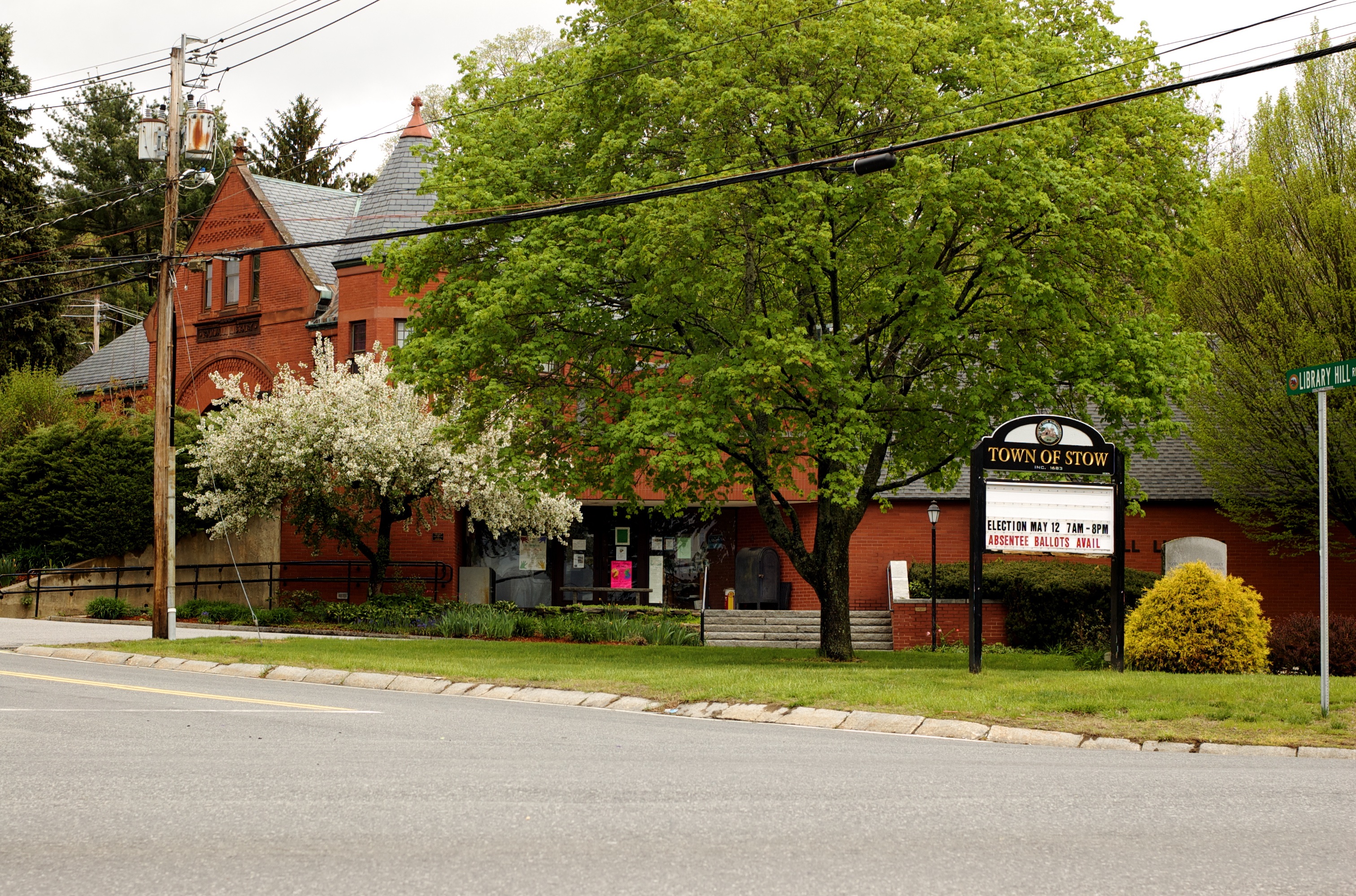
Stow (Mass.)
Enlarge text Shrink text
Information for Authority record
Sources of Information
- Childs, E.B. History of Stow, c1983:t.p. (Stow; Stow, Mass.)
- Rand McNally, 1979(Stow, Middlesex)
- LC data base, 7-18-84(hdg.: Stow, Mass.)
1 / 5
Wikipedia description:
Stow is a town in Middlesex County, Massachusetts, United States. The town is located 21 miles (34 km) west of Boston, in the MetroWest region of Massachusetts. The population was 7,174 at the 2020 census. Stow was officially incorporated in 1683 with an area of approximately 40 square miles (100 km2). Over centuries it gave up land as newer, smaller towns were created, ceding land to Harvard (1732), Shirley (1765), Boxborough (1783), Hudson (1866) and Maynard (1871). Stow now has an area of 18.1 square miles (47 km2). With the exception of factories at Assabet Village and Rock Bottom (later Maynard and Gleasondale), Stow was primarily sparsely settled farm and orchard land until the 1950s.
Read more on Wikipedia >
 Place
Place


