Haverton Hill (England)
Enlarge text Shrink text-
 Place
Place
|
מספר מערכת
987007562077905171

Information for Authority record
Name (Latin)
Haverton Hill (England)
Other forms of name
Haverton Hill (Durham)
nnaa Haverton Hill, Eng
Coordinates
W0011300 W0011300 N0543600 N0543600 (geonames )
Associated country
Great Britain
MARC

MARC
Sources of Information
- Billingham, Port Clarence, and Haverton Hill in 1851, 1979? (subj.)t.p. (Haverton Hill)
- Bartholomew, 1977(Haverton Hill, Cleveland)
1 / 2
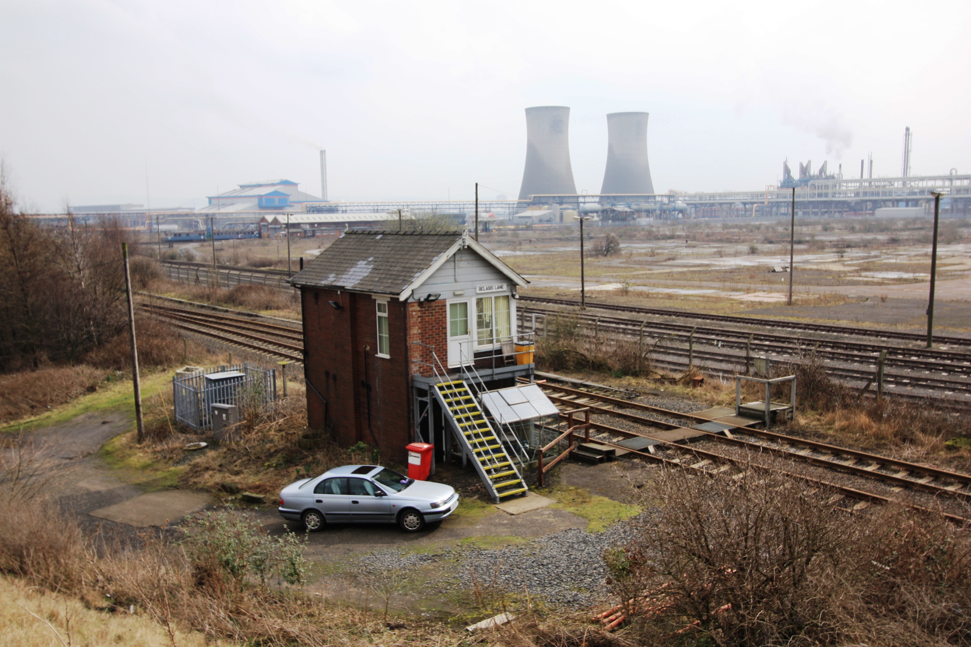
File:Belasis Lane signal box - geograph.org.uk - 1770736.jpg
Philip Barker, CC BY-SA 2.0

File:Haverton Hill.jpg
Wheatley Hill, CC BY-SA 4.0
Wikipedia description:
Haverton Hill is an area within the borough of Stockton-on-Tees and ceremonial county of County Durham, England. Once considered a part of Billingham, Haverton Hill was once a thriving industrial community which has suffered significant depopulation since the 1960s as a result of pollution. It is situated to the north of the River Tees, near Billingham. The A1046 is the main road linking to Stockton and the A19 in the west and Port Clarence and the A178 in the east.
Read more on Wikipedia >