Palms (Los Angeles, Calif.)
Enlarge text Shrink text-
 Place
Place
|
מספר מערכת
987007562096805171

Information for Authority record
Name (Latin)
Palms (Los Angeles, Calif.)
Other forms of name
Los Angeles (Calif.). Palms
Coordinates
W1182420 W1182420 N0340122 N0340122 (geonames )
Associated country
United States
MARC

MARC
Other Identifiers
Sources of Information
- Western Map Co. Official street map of Palms, c1976:map recto (Palms)
- Rand McNally comm. atlas, 1982(Palms, Los Angeles Co., part of Los Angeles)
1 / 10

Palms Depot
Floyd B. Bariscale, CC BY 2.0

File:Clover Avenue Elementary - LAUSD - 11020 Clover Ave, Los Angeles, CA 90034.jpg
Jengod, CC BY-SA 4.0

File:IreneStreetSign.jpg
BeenAroundAWhile at English Wikipedia, CC BY 3.0
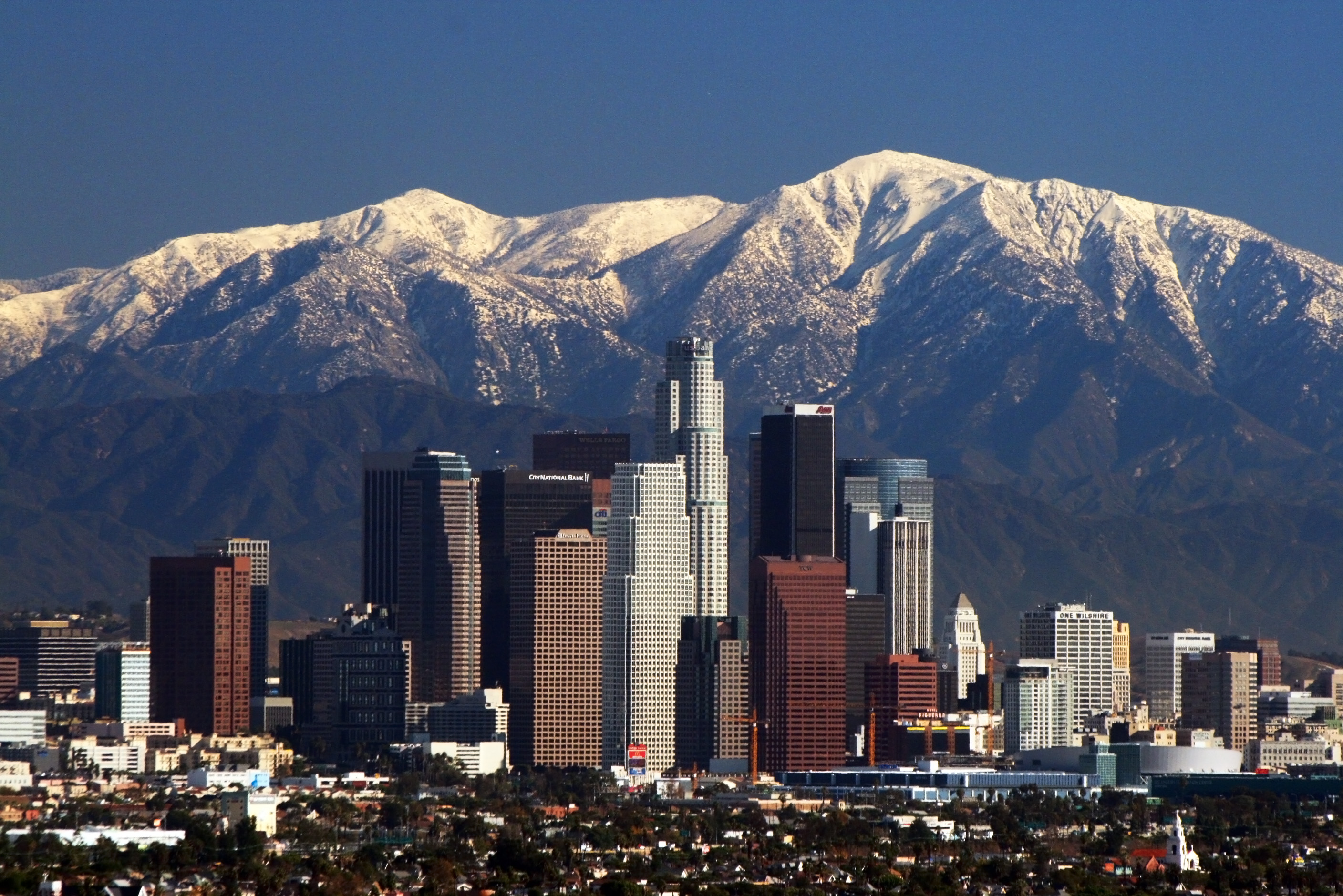
File:LA Skyline Mountains2.jpg
Nserrano, CC BY-SA 3.0

File:Palms Park Walk Bridge, Los Angeles, California.jpg
Jengod, CC BY-SA 4.0

File:Palms School LAUSD Elementary Motor Avenue Los Angeles 2023 March 01.jpg
Jengod, CC BY-SA 4.0
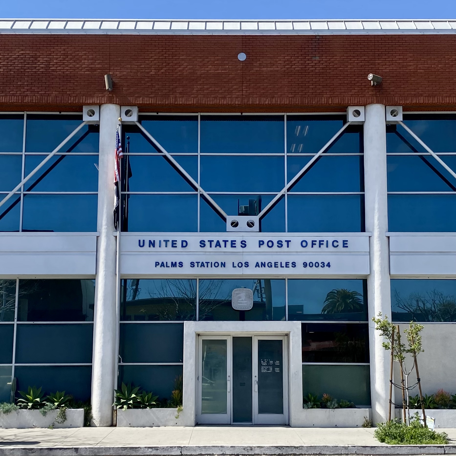
File:Palms Station Los Angeles zip code 90034 post office building on Motor Avenue.jpg
Jengod, CC BY-SA 4.0
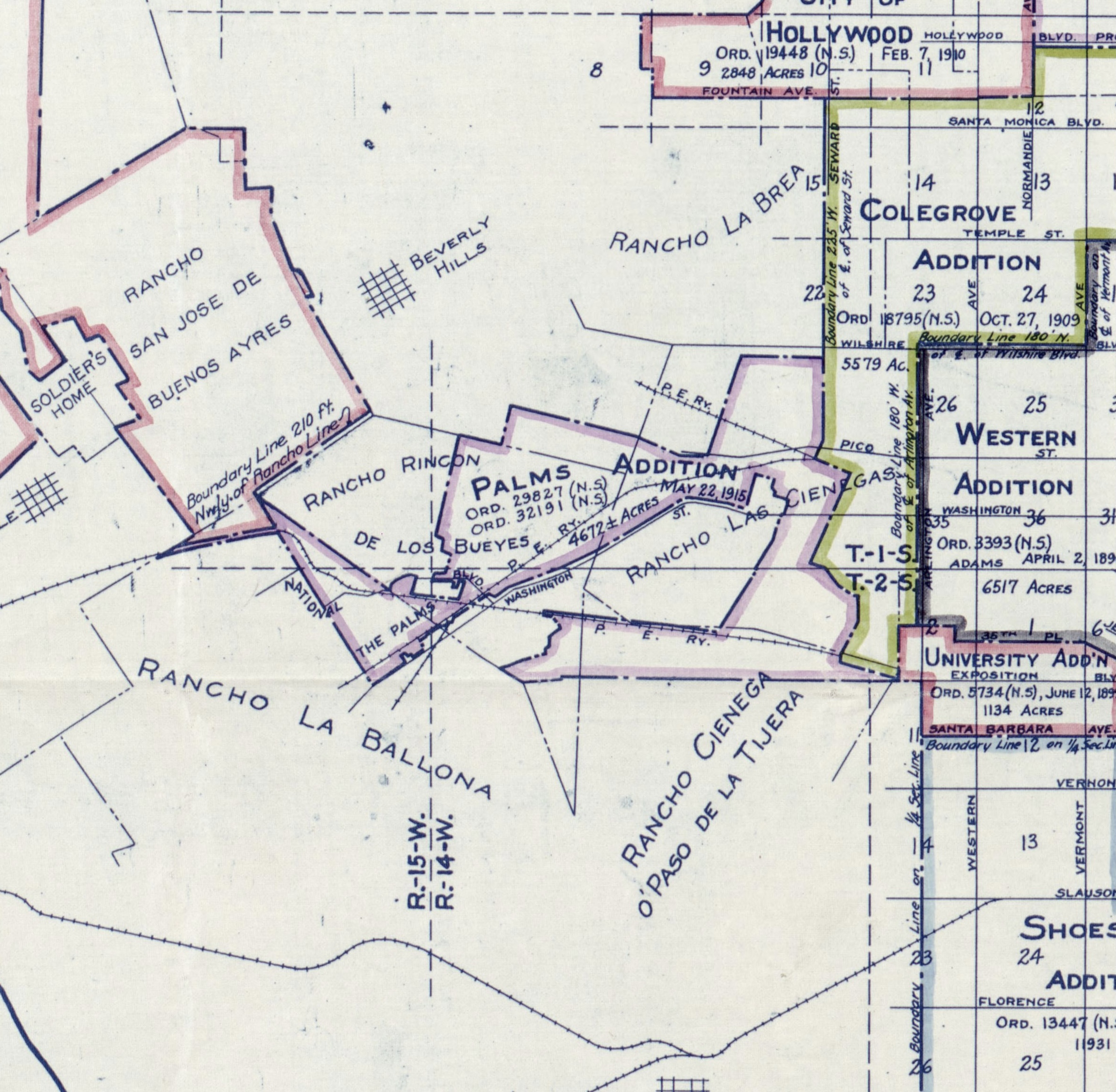
File:Palms annexation to City of Los Angeles 1915.jpg
Homer Hamlin, Public domain

File:The Palms 1893.jpg
USGS Cartographer, Public domain

File:The Palms Depot Sign.jpg
Floyd B. Bariscale, CC BY 2.0
Wikipedia description:
Palms (originally "The Palms") is a community in the Westside region of Los Angeles, California, founded in 1886 and the oldest neighborhood annexed to the city, in 1915. The 1886 tract was marketed as an agricultural and vacation community. Today it is a primarily residential area, with many apartment buildings, ribbons of commercial zoning and a single-family residential area in its northwest corner. As of the 2000 census the population of Palms was 42,545.
Read more on Wikipedia >