Rukwa Region (Tanzania)
Enlarge text Shrink text-
 Place
Place
|
מספר מערכת
987007562244405171

Information for Authority record
Name (Latin)
Rukwa Region (Tanzania)
Other forms of name
Mkoa wa Rukwa (Tanzania)
Coordinates
E0313000 E0313000 S0070000 S0070000 (geonames )
Associated country
Tanzania
MARC

MARC
Sources of Information
- Tanzania. Surveys & Mapping Division. Ramani ya vijiji, mkoa wa Rukwa, c1977:map recto (mkoa wa Rukwa)
- BGN, 6-5-84(Rukwa [brief] Region, 1st order admin. div., 7p0s00ʹS., 31p0s30ʹE.)
1 / 10

Sumbawanga View
Thomas Laubeck - Velbert, Germany (https://www.flickr.com/photos/thomaslaubeck/), CC BY 2.0

File:235 meters of single drop waterfall, the second largest waterfall in Africa.jpg
Humphrey Kaburu, CC BY-SA 4.0

File:African Firefinch, Sakania, DR Congo (16288800681).jpg
Nigel Voaden from UK, CC BY-SA 2.0

File:Caracal Caracal-001.jpg
Leo za1, CC BY-SA 3.0

File:Common acraea (Acraea encedon encedon).jpg
Charles J. Sharp, CC BY-SA 4.0
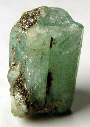
File:Emerald rough 300x422.jpg
Ryan Salsbury, CC BY-SA 3.0
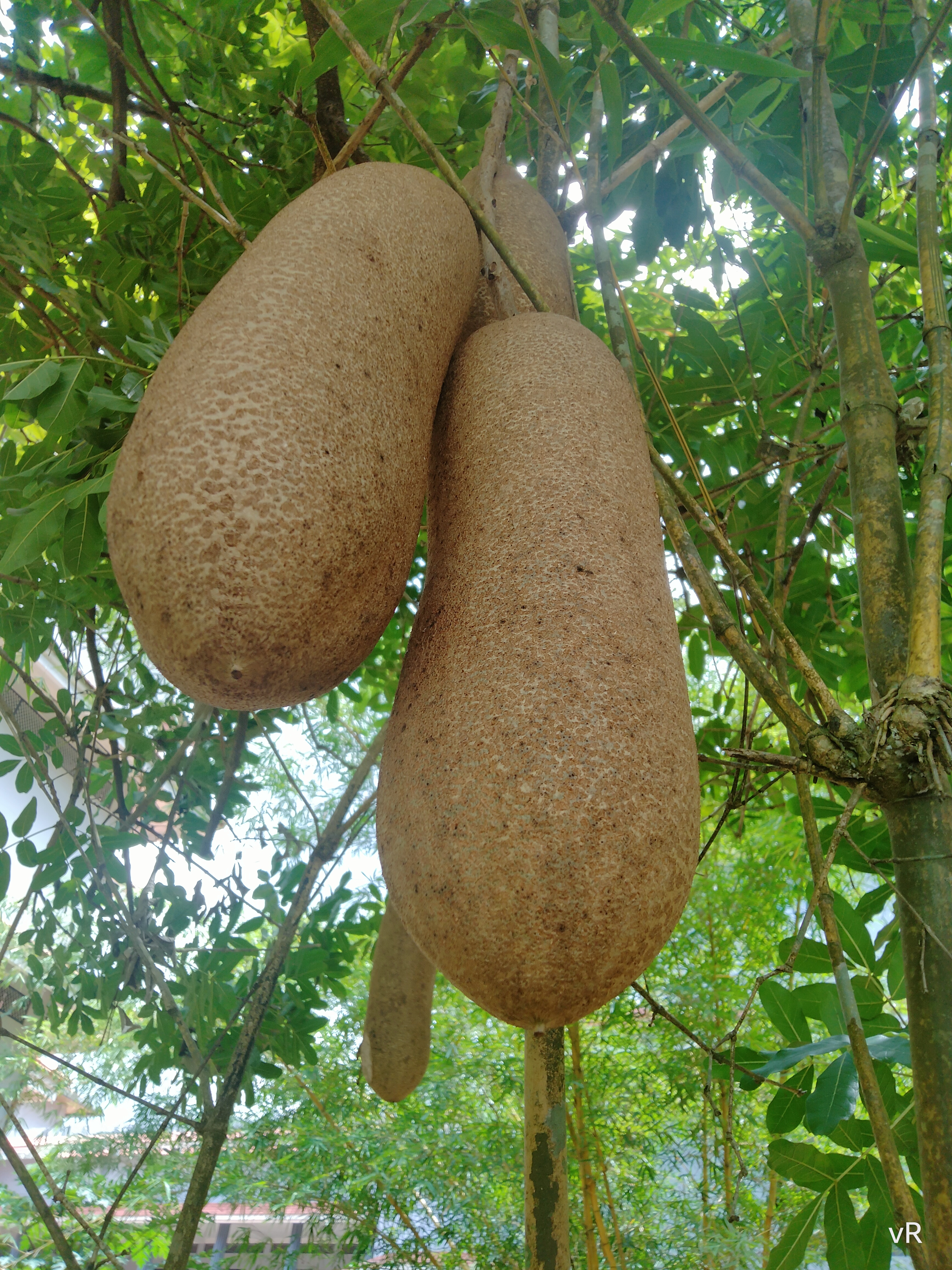
File:Kigelia africana - sausage tree -fruits 02.jpg
Vijayanrajapuram, CC BY-SA 4.0

File:Lake Rukwa.JPG
Lichinga, CC BY-SA 4.0

File:Sumbawanga View.jpg
Thomas Laubeck - Velbert, Germany (https://www.flickr.com/photos/thomaslaubeck/), CC BY 2.0

File:Tropheus duboisi.jpg
Originally uploaded by MidgleyDJ (Transferred by Cloudbound), CC BY-SA 2.5
Wikipedia description:
Rukwa Region(Mkoa wa Rukwa in Swahili) is one of Tanzania's 31 administrative regions The region covers a land area of 27,765 km2 (10,720 sq mi), which is comparable in size to the combined land area of the nation state of Haiti. Rukwa Region is bordered to the north by Katavi Region, to the east by Songwe Region, to the south by the nation of Zambia and to the west by Lake Tanganyika, which forms a border between Tanzania and the Democratic Republic of the Congo. The regional capital is the municipality of Sumbawanga. According to the 2022 national census, the region had a population of 1,540,519.
Read more on Wikipedia >