Llandudno (Wales)
Enlarge text Shrink text- Aberconwy (Wales). Tourism and Amenities Dept. Llandudno, gateway to Snowdonia, street map, 1990.
- LC database, 8-23-90
- Barth. gaz. places Brit., 1986
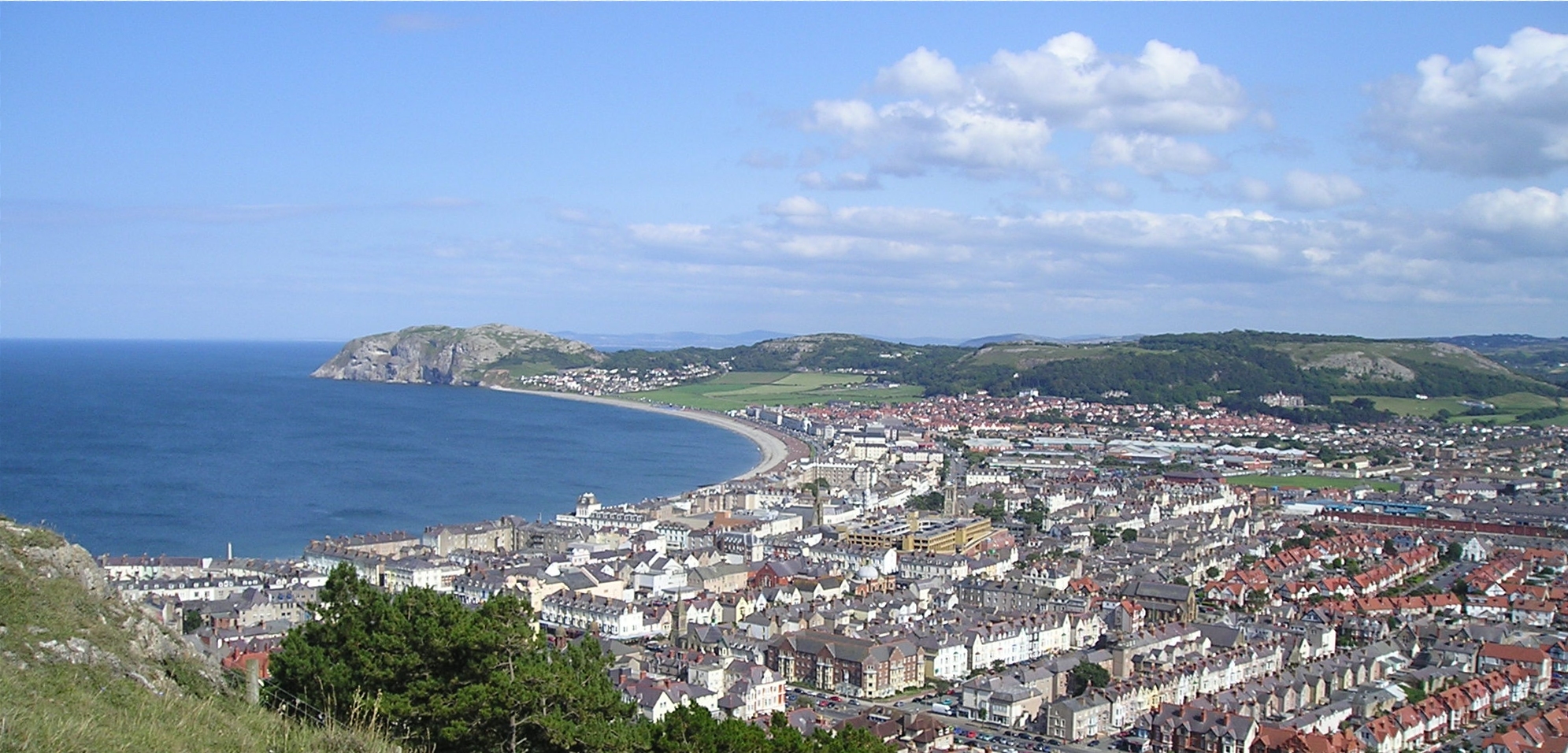
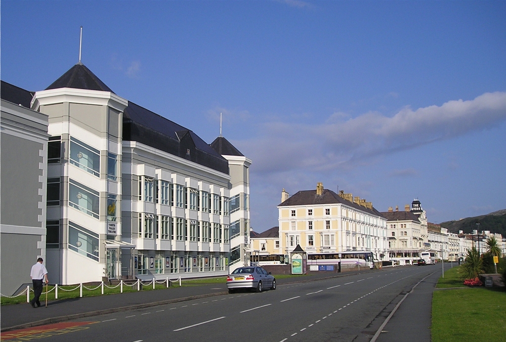
Llandudno (, Welsh: [ɬanˈdɨdnɔ] ) is a seaside resort, town and community in Conwy County Borough, Wales, located on the Creuddyn peninsula, which protrudes into the Irish Sea. In the 2021 UK census, the community – which includes Gogarth, Penrhyn Bay, Craigside, Glanwydden, Penrhynside, and Bryn Pydew – had a population of 19,700 (rounded to the nearest 100). The town's name means "Church of Saint Tudno". Llandudno is a major seaside resort in Wales, and as early as 1861 was being called 'the Queen of the Welsh Watering Places' (a phrase later also used in connection with Tenby and Aberystwyth; the word 'resort' came a little later). Historically a part of Caernarfonshire, Llandudno was formerly in the district of Aberconwy within Gwynedd until 1996.
Read more on Wikipedia >
 Place
Place


