Lillesand (Norway)
Enlarge text Shrink text-
 Place
Place


- Lillesand hundre år etter, 1990.
- BGN gaz. Norway(Lillesand, ppl, 58p0s15ʹN, 8p0s24p8sE)
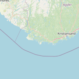
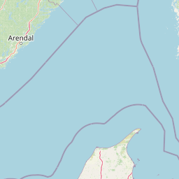

Lillesand is the administrative centre of Lillesand municipality in Agder county, Norway. The town is located along the Skagerak coast, about 18 kilometres (11 mi) southwest of the town of Grimstad and about 25 kilometres (16 mi) northeast of the city of Kristiansand. The 5.08-square-kilometre (1,260-acre) town has a population (2019) of 7,966 and a population density of 1,567 inhabitants per square kilometre (4,060/sq mi). In Norway, Lillesand is considered a by which can be translated as either a "town" or "city" in English. Lillesand Church is located in the town and it is the seat of the Vest-Nedenes prosti (deanery). The European route E18 passes by the town, one of the main roads along southeastern Norway. The Blindleia strait is an inland waterway that leads from the Høvåg area northwards to the town of Lillesand.
Read more on Wikipedia >