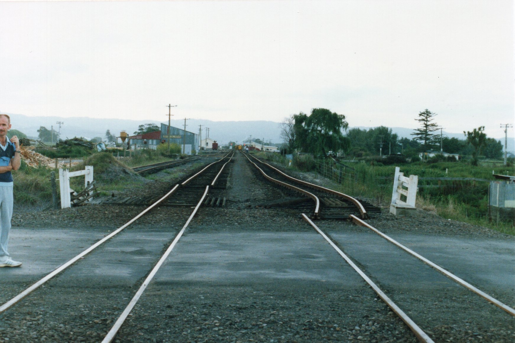
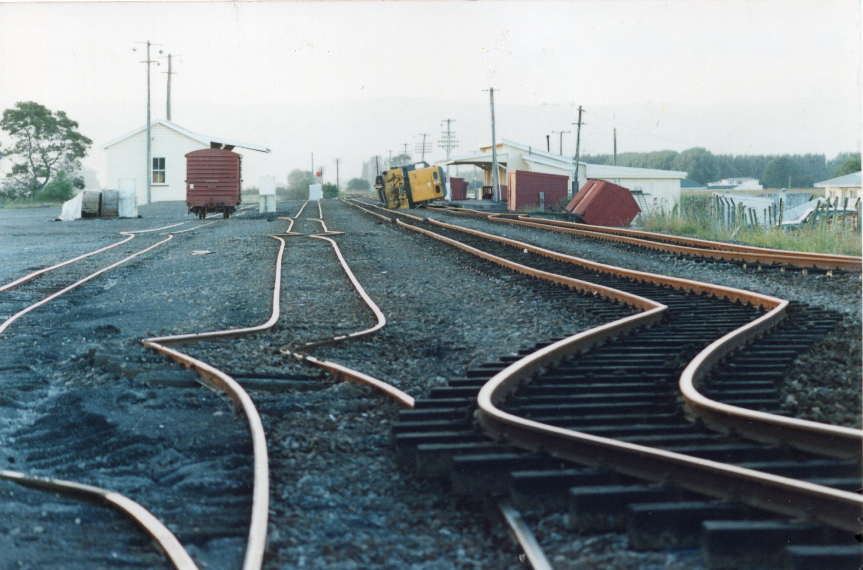
Edgecumbe Earthquake, N.Z., 1987
Enlarge text Shrink text
Information for Authority record
Other Identifiers
Wikidata:
Q1284366
Library of congress:
sh2010014138
Sources of Information
- Work cat.: Butcher, George. The Edgecumbe earthquake : a review of the 2 March 1987 eastern Bay of Plenty earthquake, c1998.
- Blick, G.H. Data from regional vertical monitoring following the 2 March 1987, Edgecumbe Earthquake, 1988.
- Liquefaction of cohesionless soils in the March 2, 1987 Edgecumbe Earthquake, Bay of Plenty, New Zealand ... 1995.
- GeoNet, WWW site, Sept. 22, 2010:M6.5. Edgecumbe, Mar. 2, 1987 (the shallow origin of this earthquake made it very destructive; Location, Edgecumbe; date (NZ Standard Time) Monday, March 2 1987 at 1:42pm; epicentre 37.88°S, 176.84°E; focal depth 6 km; maximum intensity MM 9; magnitude Mw 6.5; hardest hit were the towns of Edgecumbe, Te Teko, Kawerau, Matata and Thornton)
1 / 7
Wikipedia description:
The 1987 Edgecumbe earthquake measured 6.5 on the moment magnitude scale and struck the Bay of Plenty region of New Zealand at 1.42 pm on 2 March. The hypocentre was at a shallow depth of 8 km. The epicentre was 2.24 kilometres (1.39 mi) south-south-east of the town of Matatā, and 15 kilometres (9.3 mi) north-north-west of Edgecumbe, on the Rangitaiki Plains (the floodplain of the Rangitaiki River, the Tarawera River and the Whakatāne River). It was the most damaging earthquake New Zealand had experienced since the 1968 Inangahua earthquake.
Read more on Wikipedia >
 Topic
Topic


.jpg)


