Pegnitz River (Germany)
Enlarge text Shrink text-
 Place
Place
|
מספר מערכת
987012403726205171

Information for Authority record
Name (Latin)
Pegnitz River (Germany)
See Also From tracing topical name
Rivers Germany
MARC

MARC
Other Identifiers
Wikidata:
Q163880
Library of congress:
sh2018000482
Sources of Information
- Work cat: Pekarsky, J. Dieœ Weichtiere der Pegnitzlandschaften, 2017:t.p. (the molluscs of the Pegnitz countryside)
- GEOnet, 8 March 2018(Pegnitz; stream; Bavaria, Germany; 49°29'11"N 010°59'12"E; also a ppl in Bavaria named Pegnitz)
- Columbia Gazetteer of the world online, March 8, 2018(Pegnitz River, 53 mi/85 km long, Bavaria, Germany; rises 9.7 km SSW of Bayreuth; flows S and then W, through Nuremberg, to Fürth, where it joins the Rednitz River)
1 / 6

Nuernberg-fronfeste-und-kettensteg-v-O
The original uploader was Keichwa at German Wikipedia., CC BY-SA 3.0

File:Altwasser der Pegnitz, Nürnberg-West.jpg
Belladonna*, CC BY-SA 3.0

File:IM001357.JPG
Deltongo, CC BY-SA 3.0
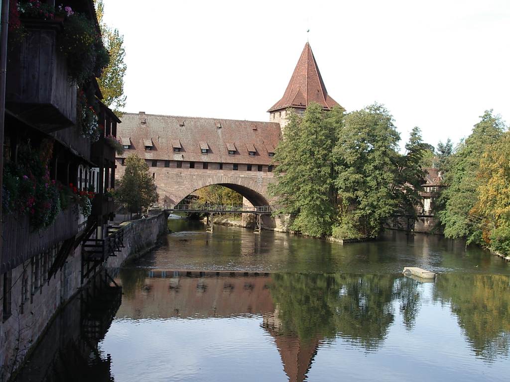
File:Nuernberg-fronfeste-und-kettensteg-v-O.jpg
The original uploader was Keichwa at German Wikipedia., CC BY-SA 3.0

File:Nurembergsynagoguec.jpg
Unknown author, Public domain

File:PegnitzNAltstadt.JPG
Jonas aus Großwechsungen2, CC BY-SA 3.0
Wikipedia description:
The Pegnitz (German: [ˈpeːɡnɪt͡s] ) is a river in Franconia in the German state of Bavaria. The Pegnitz has its source in the town of the same name at an altitude of 425 m (1,394 ft) and meets the Rednitz at 283 m (928 ft) in Fürth to form the Regnitz river. Shortly after the source, the Pegnitz unites with the 15 km (9.3 mi) long Fichtenohe while keeping the name of the shorter tributary. Some therefore consider the Fichtenohe as the upper course of the river Pegnitz. The source of the Fichtenohe is in Lindenhardt Forest (Landkreis Bayreuth) north of the town of Pegnitz. The Pegnitz is about 113 km (70 mi) long, with Fichtenohe 127 km (79 mi). The river is inhabited by numerous ducks, coots, swans, and gulls.
Read more on Wikipedia >