Bears Ears National Monument (Utah)
Enlarge text Shrink text-
 Place
Place


- Work cat: Keeler, J. Edge of morning, 2017(Bears Ears National Monument)
- U.S. Forest Service website, viewed April 9, 2018(The Bears Ears National Monument is the 12th national monument managed by the Forest Service; it is the fifth to be managed jointly by the Forest Service and BLM.)
- Presidential proclamation, establishment of the Bears Ears National Monument, Dec. 28, 2016, via Obama White House archives WWW site, May 14, 2018:(in the center of the southeastern Utah landscape)
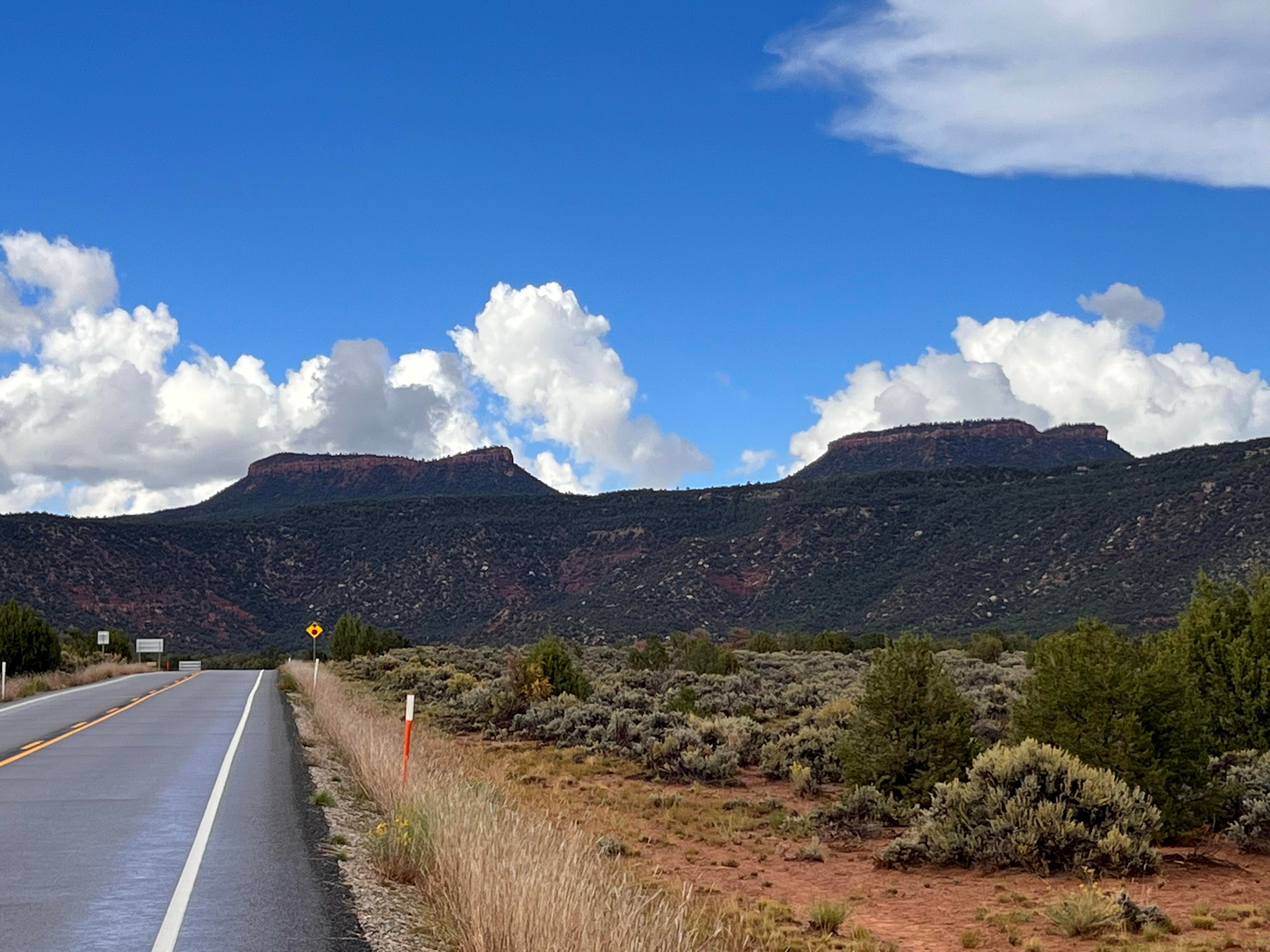
- Utah, life elevated WWW site, May 18, 2018:Bears Ears National Monument (located west of the towns of Blanding, Monticello and Bluff and north of Mexican Hat in southeastern Utah's San Juan County)


Bob Wick
, CC-BY-SA-4.0
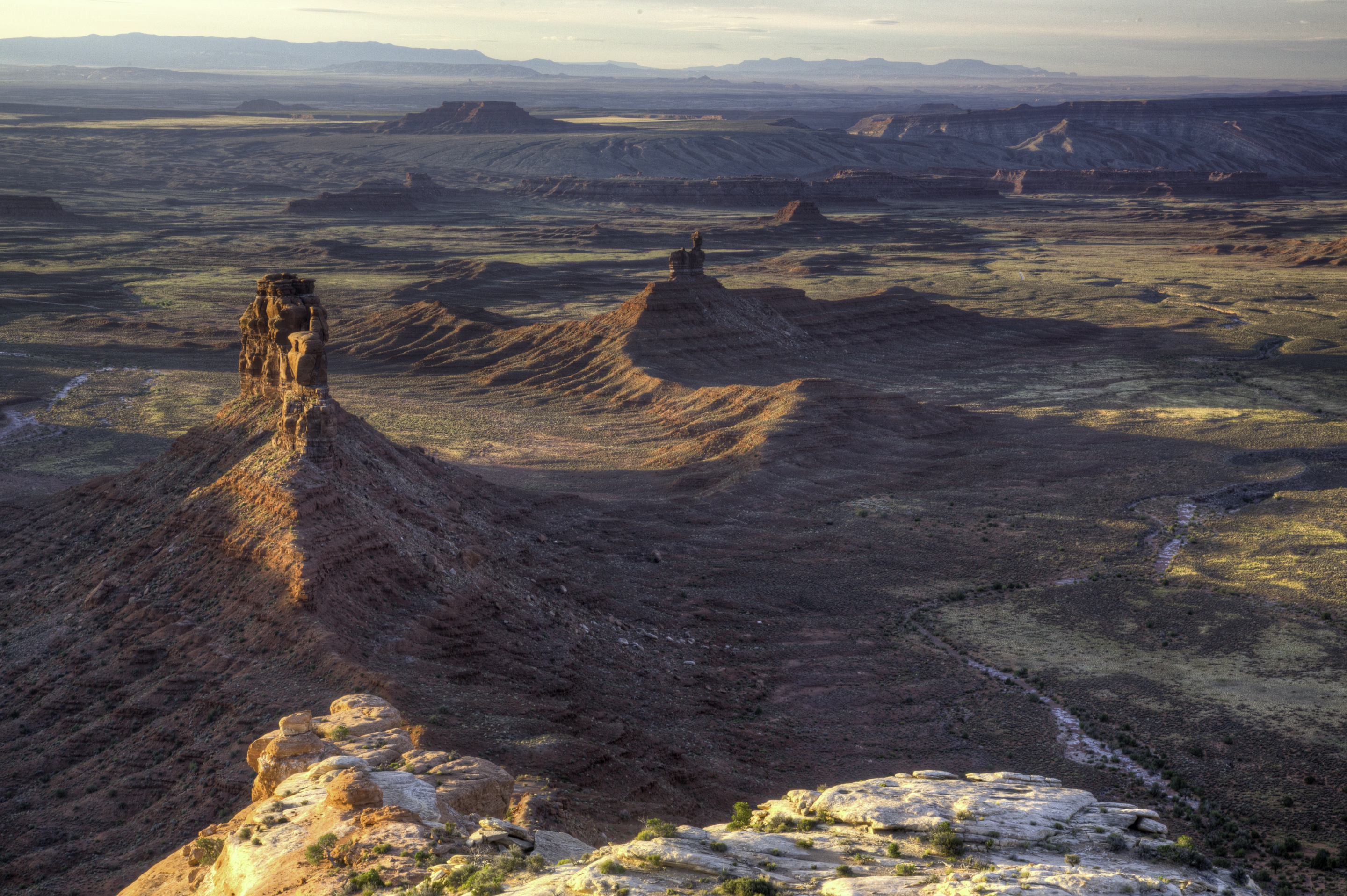
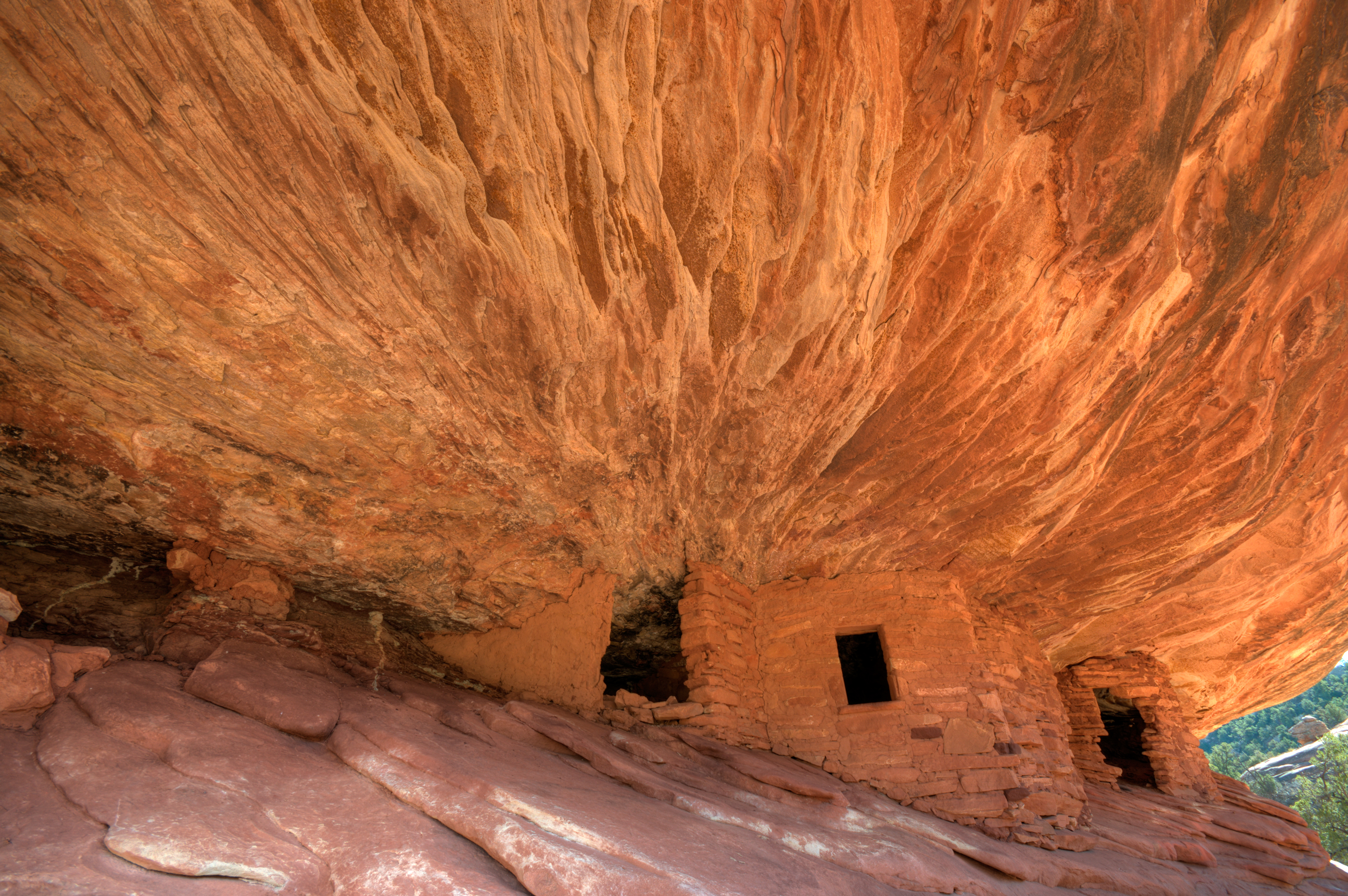
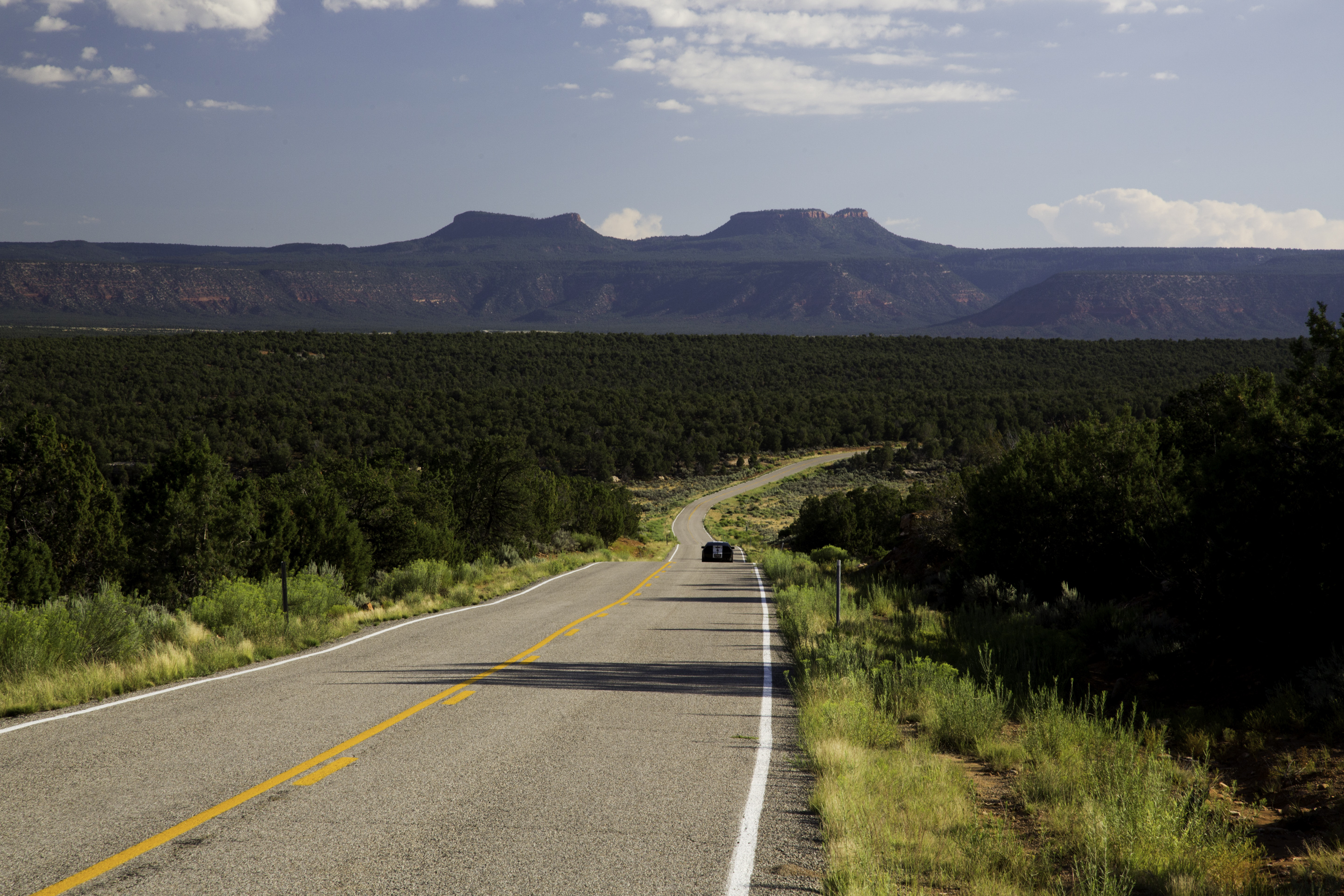
Bears Ears National Monument is a United States national monument located in San Juan County in southeastern Utah, established by President Barack Obama by presidential proclamation on December 28, 2016. The monument protects 1,351,849 acres (2,112.264 sq mi; 5,470.74 km2) of public land surrounding the Bears Ears—a pair of buttes—and the Indian Creek corridor rock climbing area. The Native American names for the buttes have the same meaning in each of the languages represented in the region. The names are listed in the presidential proclamation as "Hoon’Naqvut, Shash Jáa [sic], Kwiyaghatʉ Nükavachi/Kwiyagatu Nukavachi, Ansh An Lashokdiwe"—all four mean "Bears Ears". The area within the monument is largely undeveloped and contains a wide array of historic, cultural and natural resources. The monument is co-managed by the Bureau of Land Management and United States Forest Service (through the Manti-La Sal National Forest), along with a coalition of five local Native American tribes: the Navajo Nation, Hopi, Ute Mountain Ute, Ute Indian Tribe of the Uintah and Ouray Reservation, and the Pueblo of Zuni, all of which have ancestral ties to the region. The monument includes the area around the Bears Ears formation and adjacent land to the southeast along the Comb Ridge formation, as well as Indian Creek Canyon to the northeast. The monument also includes the Valley of the Gods to the south, the western part of the Manti-La Sal National Forest's Monticello unit, and the Dark Canyon Wilderness to the north and west. A proclamation issued by President Donald Trump on December 4, 2017, reduced the monument by 85% to 201,876 acres (315 sq mi; 817 km2)—an unprecedented and exceptionally large reduction in the history of U.S. national monuments. President Joe Biden restored the territory removed by Trump on October 8, 2021.
Read more on Wikipedia >